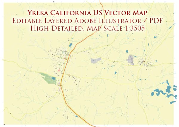
Some information on specific historic places, buildings, streets, and squares in Yreka, California. A general overview based on historical available information.
Vectormap.Net provide you with the most accurate and up-to-date vector maps in Adobe Illustrator, PDF and other formats, designed for editing and printing. Please read the vector map descriptions carefully.
Historic Places and Buildings:
- Siskiyou County Courthouse:
- The Siskiyou County Courthouse is an iconic building in Yreka, known for its historic architecture. It has been a focal point in the city for legal affairs and community events.
- Yreka Historic District:
- Yreka has designated areas that are part of the historic district, preserving the city’s historical and architectural heritage. This may include well-preserved buildings from different eras.
- Miner Street Historic District:
- Miner Street, located in downtown Yreka, is likely to have historic buildings that reflect the city’s past, especially during the Gold Rush era.
Streets and Squares:
- Miner Street:
- Miner Street is a significant street in Yreka and is often considered the main thoroughfare in the downtown area. It may feature historic buildings, shops, and restaurants.
- Center Street:
- Another notable street in Yreka, Center Street, might have historic elements and architectural interest.
- Yreka Historic Downtown:
- The historic downtown area itself may include a network of streets with preserved buildings, creating a charming atmosphere that reflects the city’s history.
Squares and Parks:
- Greenhorn Park:
- While not necessarily a square, Greenhorn Park is a local recreational area that may have historical significance or features. Parks often play a role in preserving natural and cultural heritage.
If you are interested in specific historic places, buildings, streets, and squares in Yreka, I recommend reaching out to local historical societies, the city’s planning department, or other relevant organizations for the most current and detailed information.


 Author: Kirill Shrayber, Ph.D. FRGS