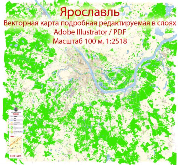
A general overview of Yaroslavl, Russia, but keep in mind that there might have been changes or developments since then. Yaroslavl is a historic city located along the Volga River, and it is part of the Golden Ring, a group of historically significant cities northeast of Moscow.
Vectormap.Net provide you with the most accurate and up-to-date vector maps in Adobe Illustrator, PDF and other formats, designed for editing and printing. Please read the vector map descriptions carefully.
Here’s a general description of its districts, communities, and main streets:
- Historical Center:
- The historical center of Yaroslavl is characterized by its well-preserved architecture from various periods.
- The UNESCO World Heritage-listed Assumption Cathedral, a prime example of Russian medieval architecture, is located here.
- The area around the Strelka (confluence of the Volga and Kotorosl rivers) is particularly picturesque.
- Kirovsky District:
- This district is one of the administrative divisions of Yaroslavl and includes residential areas, parks, and industrial zones.
- Kirovsky Park is a notable green space in this district.
- Dzerzhinsky District:
- Another administrative district that encompasses residential and industrial zones.
- It’s named after Felix Dzerzhinsky, a Soviet statesman and founder of the Soviet secret police.
- Leninsky District:
- This district is named after Vladimir Lenin and includes residential areas and educational institutions.
- Zavolzhsky District:
- Located on the left bank of the Volga River, this district is known for its industrial and residential areas.
- It also includes some recreational zones along the river.
- Krasnoperekopsky District:
- This district is situated on the right bank of the Volga and includes residential and industrial areas.
- Communities:
- Yaroslavl has various residential communities, each with its own unique character and amenities.
- These communities cater to the diverse needs of the population, providing housing, schools, healthcare facilities, and recreational spaces.
- Main Streets:
- Sovetskaya Street: One of the central streets in Yaroslavl, known for its shops, cafes, and historical buildings.
- Kirov Street: Another important street in the city center, offering a mix of commercial and cultural establishments.
- Bolshaya Oktyabrskaya Street: A major road connecting different parts of the city, featuring shops, offices, and residential buildings.
Keep in mind that the development and urban landscape of cities can change over time, so it’s advisable to check more recent sources for the latest information on Yaroslavl’s districts, communities, and main streets.


 Author: Kirill Shrayber, Ph.D.