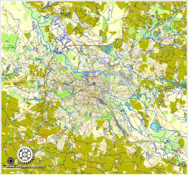
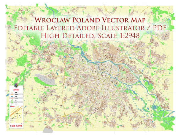
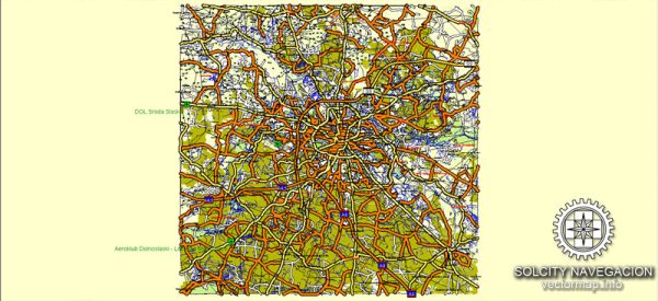
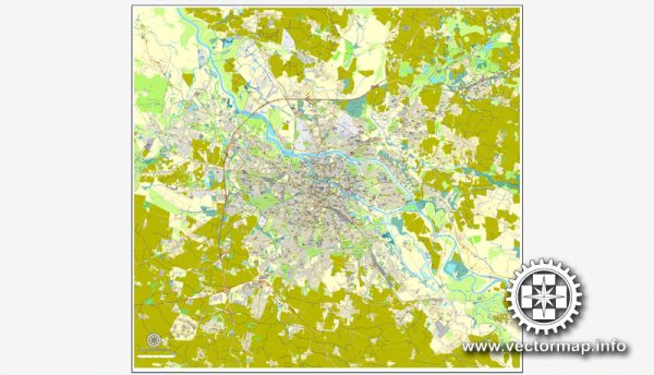
Wroclaw is a vibrant city in western Poland known for its rich history, stunning architecture, and cultural diversity. The city is divided into several districts, each with its own unique character and charm.
Vectormap.Net provide you with the most accurate and up-to-date vector maps in Adobe Illustrator, PDF and other formats, designed for editing and printing. Please read the vector map descriptions carefully.
Here is a brief overview of some of the main districts, communities, and streets in Wroclaw:
- Stare Miasto (Old Town):
- Main Square (Rynek): The heart of Wroclaw’s Old Town, Rynek is one of the largest medieval squares in Europe. It is surrounded by colorful, well-preserved townhouses, and features the Gothic-style Old Town Hall with its astronomical clock.
- Ostrów Tumski: This is the oldest part of Wroclaw, located on Cathedral Island. Ostrów Tumski is home to the Wroclaw Cathedral, which is an architectural masterpiece, as well as other historic churches and monuments.
- Nadodrze:
- A district with a unique, bohemian atmosphere, Nadodrze is known for its street art, creative spaces, and artistic community. It has undergone revitalization efforts in recent years, transforming it into a trendy and alternative neighborhood.
- Śródmieście:
- This central district includes areas around the Old Town and is characterized by a mix of residential and commercial spaces. It’s a lively area with shops, cafes, and cultural institutions.
- Krzyki:
- One of the largest districts in Wroclaw, Krzyki is a diverse area with both residential and industrial zones. It includes the Hala Stulecia (Centennial Hall), a UNESCO World Heritage Site, and the Wroclaw Zoo.
- Fabryczna:
- Known for its industrial history, Fabryczna is undergoing redevelopment, with former factory buildings being repurposed for modern use. It’s becoming a hub for creative industries, business, and residential spaces.
- Psie Pole:
- Located in the northern part of Wroclaw, Psie Pole is a residential district with parks and green spaces. It offers a quieter living environment away from the bustling city center.
- Biskupin:
- Biskupin is an area with a mix of residential and commercial developments. It is known for its local markets, parks, and recreational areas.
- Main Streets:
- ul. Świdnicka: One of the main thoroughfares in Wroclaw, it leads from the Main Square to the train station. It’s lined with shops, cafes, and restaurants.
- ul. Piłsudskiego: This street connects the Old Town with the Nadodrze district, featuring a mix of historic and modern architecture.
- ul. Wita Stwosza: Known for its Gothic architecture, this street is home to the famous Wroclaw University.
- ul. Ruska: A charming street with historic buildings and a variety of shops, cafes, and galleries.
Wroclaw’s districts and streets offer a diverse range of experiences, from the historic charm of the Old Town to the creative and alternative atmosphere of areas like Nadodrze. Each district contributes to the city’s overall tapestry, making Wroclaw a fascinating place to explore.


 Author: Kirill Shrayber, Ph.D. FRGS