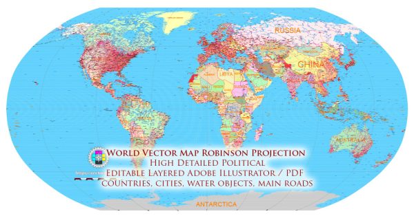
The Robinson projection was not created by an individual named Robinson. Instead, it was developed by Arthur H. Robinson, an American geographer, cartographer, and professor. The Robinson projection was introduced by Robinson in 1963 as an attempt to address some of the distortions present in earlier map projections, particularly those related to size and shape.
Vectormap.Net provide you with the most accurate and up-to-date vector maps in Adobe Illustrator, PDF and other formats, designed for editing and printing. Please read the vector map descriptions carefully.
Here is a brief overview of Arthur H. Robinson and the creation of the Robinson projection:
- Arthur H. Robinson (1915-2004): Arthur Howard Robinson was born on February 5, 1915, in Montreal, Canada. He later became a naturalized American citizen. Robinson was a prominent figure in the field of cartography and geography, and he made significant contributions to map design and education.
- Education and Academic Career: Robinson earned his Ph.D. in geography from the University of Chicago in 1947. He went on to become a professor at the University of Wisconsin–Madison, where he taught geography for many years.
- The Robinson Projection (1963): Arthur H. Robinson introduced the Robinson projection in 1963. This map projection aimed to balance several map properties, including minimizing distortion in size, shape, distance, and direction across the entire map. The Robinson projection is an attempt to provide a visually appealing and more realistic representation of the world compared to some earlier projections.
- World Map and Atlases: The Robinson projection gained popularity and became widely used in educational materials, atlases, and world maps. Its adoption was driven by its ability to present a more visually balanced representation of the Earth while still being suitable for general-purpose world maps.
- Later Career and Legacy: Arthur H. Robinson continued to contribute to the field of cartography throughout his career. He served as the president of the International Cartographic Association and the American Cartographic Association. Robinson’s work in map design and education left a lasting impact on the discipline.
The Robinson projection, while not without its own set of distortions, has been praised for its compromise in attempting to provide a more realistic representation of the world. It gained popularity as an alternative to earlier projections and is still used in various contexts today. Robinson’s contributions to cartography extended beyond the projection itself, encompassing advancements in map design and educational methods.


 Author: Kirill Shrayber, Ph.D. FRGS