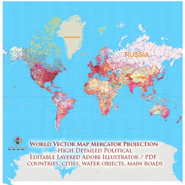
The World Map in the Mercator Projection was created by Gerardus Mercator, a Flemish cartographer, geographer, and mathematician. Gerardus Mercator was born on March 5, 1512, in Rupelmonde, County of Flanders (now part of Belgium), and he died on December 2, 1594, in Duisburg, Duchy of Cleves (now in Germany). Mercator made significant contributions to cartography and geography during the Renaissance.
Vectormap.Net provide you with the most accurate and up-to-date vector maps in Adobe Illustrator, PDF and other formats, designed for editing and printing. Please read the vector map descriptions carefully.
Here is a brief overview of Gerardus Mercator’s life and the creation of the World Map in the Mercator Projection:
- Early Life and Education (1512-1530): Gerardus Mercator studied humanities at the University of Louvain (Leuven) in Belgium. He later pursued studies in theology and philosophy.
- Interest in Cartography (1530s): Mercator’s interest in cartography developed during his time at the University of Louvain. He was influenced by the works of Greek mathematician and geographer Claudius Ptolemy.
- Move to Duisburg (1552): Due to religious conflicts in the Low Countries (modern-day Belgium and the Netherlands), Mercator, a Protestant, moved to Duisburg, Germany, in 1552. There, he established a workshop and continued his cartographic work.
- Development of the Mercator Projection (1569): In 1569, Gerardus Mercator published his most famous work, a world map based on a cylindrical map projection that later became known as the Mercator Projection. This projection has the property of preserving angles, which makes it valuable for navigation.
- Atlas Production (Atlas sive Cosmographicae Meditationes de Fabrica Mundi et Fabricati Figura – 1595): Mercator’s son, Rumold Mercator, and later his grandsons continued his work. In 1595, a year after Gerardus Mercator’s death, a collection of his maps was published posthumously in the atlas “Atlas sive Cosmographicae Meditationes de Fabrica Mundi et Fabricati Figura.” This atlas included maps using the Mercator Projection.
- Legacy: The Mercator Projection became widely adopted for navigation due to its ability to preserve angles and straight lines, making it especially useful for sea charts. Despite its distortions in terms of area, the Mercator Projection remains influential and is still commonly encountered today, especially in educational materials and reference maps.
While Gerardus Mercator is best known for his map projection, he made other significant contributions to cartography and created a variety of maps during his career. His work laid the foundation for subsequent developments in mapmaking and navigation.


 Author: Kirill Shrayber, Ph.D. FRGS