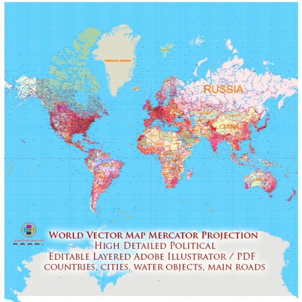
The World Mercator Projection is commonly used in specific situations where its properties align with the requirements of the task or purpose.
Vectormap.Net provide you with the most accurate and up-to-date vector maps in Adobe Illustrator, PDF and other formats, designed for editing and printing. Please read the vector map descriptions carefully.
Here are some cases where it makes sense to use the World Map in the Mercator Projection:
- Navigation: The Mercator Projection is historically renowned for its use in navigation, especially in marine navigation. The projection preserves angles and maintains straight lines as constant compass directions. This property makes it valuable for plotting courses and determining headings.
- Maritime Charts: Due to its conformal nature, which preserves shapes and angles, the Mercator Projection is frequently used for maritime charts. Navigational charts for sailors often employ the Mercator Projection to provide accurate representations of coastlines, harbors, and navigational routes.
- Air Navigation: While modern aviation relies more on electronic navigation systems, the Mercator Projection still finds use in some aviation charts, especially for flight planning. Pilots may use charts based on the Mercator Projection to calculate distances and directions.
- Educational Purposes: The Mercator Projection is commonly used in educational settings to introduce students to map reading and basic geography. Its simplicity and conformal nature make it a useful tool for teaching fundamental concepts of navigation and geography.
- Reference Maps: Mercator maps are often used as reference maps for general purposes, where the preservation of angles and conformality are more important than accurately representing areas. Such maps may be found in atlases, wall maps, or online mapping applications.
- Equatorial Regions: The Mercator Projection is most accurate along the equator. Therefore, for regions near the equator, where distortion is minimal, the Mercator Projection can be suitable for displaying accurate shapes and angles.
While the Mercator Projection has its advantages in specific contexts, it’s important to be aware of its limitations, especially the significant distortion in terms of area as one moves away from the equator. For applications where accurate area representation is crucial, alternative map projections that address these issues, such as equal-area projections, may be more appropriate. Choosing the right map projection depends on the specific requirements of the task at hand.


 Author: Kirill Shrayber, Ph.D. FRGS