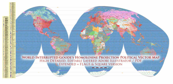
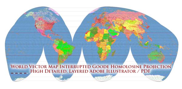
The history of cartography, or mapmaking, is a fascinating journey that spans thousands of years. The development of maps and cartography is closely tied to the advancement of human civilization, exploration, and the quest for understanding the world.
Vectormap.Net provide you with the most accurate and up-to-date vector maps in Adobe Illustrator, PDF and other formats, designed for editing and printing. Please read the vector map descriptions carefully.
Here’s a brief overview of the evolution of ancient world maps:
- Prehistoric Maps:
- The earliest forms of maps were likely simple drawings on cave walls or other surfaces, created by prehistoric humans to represent their immediate surroundings or significant landmarks.
- These early maps were more symbolic and less accurate, often portraying essential features rather than providing precise geographical information.
- Ancient Mesopotamia:
- The Sumerians in Mesopotamia (modern-day Iraq) are credited with creating some of the earliest known maps on clay tablets around 2300 BCE.
- These early maps depicted local areas, showing rivers, cities, and other landmarks.
- Ancient Egypt:
- Ancient Egyptians created maps on papyrus, representing both local and regional landscapes.
- The “Turin Papyrus Map” dating back to around 1160 BCE is one of the oldest surviving examples, illustrating parts of Egypt and Nubia.
- Ancient Greece:
- The ancient Greeks contributed significantly to the development of cartography. Notable figures like Anaximander and Hecataeus produced maps based on their understanding of the Earth’s geography.
- Ptolemy, a Greek geographer, astronomer, and mathematician from the 2nd century CE, authored the “Geographia,” which included detailed maps and a guide to mapmaking. His work influenced medieval and Renaissance cartography.
- Roman Maps:
- Romans were more focused on practical maps for administrative and military purposes.
- The “Tabula Rogeriana,” created by Muhammad al-Idrisi in the 12th century, is often considered a culmination of Roman and Islamic cartographic knowledge.
- Islamic Golden Age:
- During the Islamic Golden Age, scholars like al-Idrisi, Ibn Battuta, and others made significant contributions to cartography.
- Islamic maps often combined geographic information with artistic elements, reflecting a fusion of science and aesthetics.
- Medieval European Maps:
- In medieval Europe, maps became more symbolic and religious, emphasizing the spiritual aspects of geography.
- The “Hereford Mappa Mundi,” created around 1300, is a famous medieval map that incorporates both geographic and religious elements.
- Renaissance and Age of Exploration:
- The Renaissance brought a revival of interest in classical knowledge, including Ptolemaic ideas.
- The Age of Exploration in the 15th and 16th centuries led to more accurate maps as explorers like Columbus, Magellan, and others contributed new geographical knowledge.
The history of cartography continued to evolve with technological advancements, including the development of printing, accurate measurements, and satellite imagery. Today, cartography is a sophisticated field that combines scientific precision with artistic representation.


 Author: Kirill Shrayber, Ph.D. FRGS