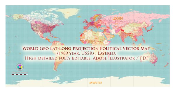
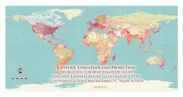
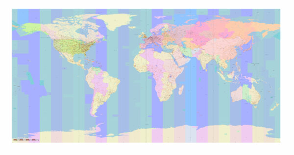
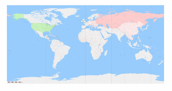
A list of some of the principal ocean ports and major maritime routes around the world.
Vectormap.Net provide you with the most accurate and up-to-date vector maps in Adobe Illustrator, PDF and other formats, designed for editing and printing. Please read the vector map descriptions carefully.
Principal Ocean Ports:
- Port of Shanghai (China): One of the busiest and largest container ports in the world.
- Port of Singapore (Singapore): A major hub for shipping and transshipment in Southeast Asia.
- Port of Rotterdam (Netherlands): Europe’s largest and one of the world’s busiest ports.
- Port of Hong Kong (Hong Kong): A key port in Asia and a major gateway to China.
- Port of Busan (South Korea): The largest port in South Korea and a crucial hub in East Asia.
- Port of Dubai (United Arab Emirates): A major transshipment center and a key player in the Middle East.
- Port of Los Angeles (United States): The largest port in the United States, handling a significant portion of the country’s imports.
- Port of Hamburg (Germany): A major port in Europe, serving as a gateway to the Baltic Sea.
- Port of Antwerp (Belgium): One of the largest and busiest ports in Europe.
- Port of Tokyo (Japan): A key port in Japan and an important maritime hub in Asia.
Major Maritime Routes:
- Suez Canal: Connects the Mediterranean Sea to the Red Sea, providing a shortcut for ships traveling between Europe and Asia.
- Panama Canal: Links the Atlantic and Pacific Oceans, facilitating maritime trade between the Americas.
- Strait of Malacca: A critical waterway between the Indian Ocean and the Pacific Ocean, connecting Europe, Africa, and the Middle East to East Asia.
- Strait of Hormuz: Connects the Persian Gulf to the Gulf of Oman and the Arabian Sea, serving as a crucial passage for oil shipments.
- Bab el Mandeb: Connects the Red Sea to the Gulf of Aden, facilitating access to the Indian Ocean.
- English Channel: Separates southern England from northern France and connects the North Sea to the Atlantic Ocean.
- North Sea Route: A sea route in the Arctic region that becomes more navigable due to melting ice, connecting Europe to Asia.
- East China Sea: Connects the East China Sea to the Pacific Ocean, crucial for trade between China, Japan, and South Korea.
- Mediterranean-Black Sea Route: Connects the Mediterranean Sea to the Black Sea through the Bosporus Strait.
These are just a few examples, and there are numerous other ports and maritime routes that play significant roles in global trade and transportation. Please note that the importance and traffic of ports and routes can change over time due to geopolitical, economic, and environmental factors. For the latest and most accurate information, it’s recommended to refer to current maritime databases and reports.


 Author: Kirill Shrayber, Ph.D. FRGS