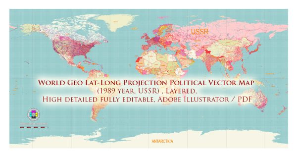
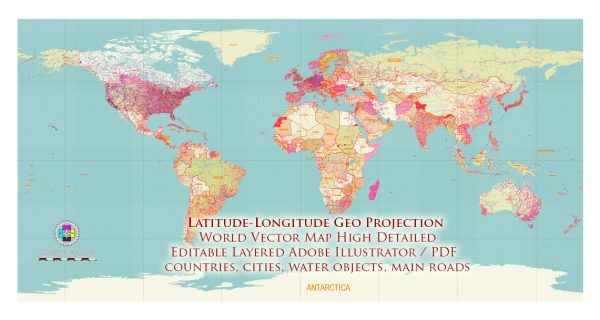
The world’s oceans and seas cover about 71% of the Earth’s surface and play a crucial role in regulating the planet’s climate and supporting diverse ecosystems.
Vectormap.Net provide you with the most accurate and up-to-date vector maps in Adobe Illustrator, PDF and other formats, designed for editing and printing. Please read the vector map descriptions carefully.
Here are the main oceans and some notable seas:
- Pacific Ocean:
- Largest and deepest ocean.
- Bounded by Asia and Australia to the west, the Americas to the east, the Southern Ocean to the south, and the Arctic Ocean to the north.
- Atlantic Ocean:
- Second-largest ocean.
- Bounded by the Americas to the west, Europe and Africa to the east, the Southern Ocean to the south, and the Arctic Ocean to the north.
- Indian Ocean:
- Third-largest ocean.
- Bounded by Africa, Asia, Australia, and the Indian subcontinent.
- Southern Ocean:
- Surrounds Antarctica and is sometimes considered the southernmost parts of the Atlantic, Indian, and Pacific Oceans.
- Arctic Ocean:
- Smallest and shallowest of the world’s oceans.
- Borders the Arctic region of North America, Europe, and Asia.
Notable seas within these oceans include:
- Mediterranean Sea: Connected to the Atlantic Ocean, almost completely enclosed by land.
- Caribbean Sea: Located in the western part of the Atlantic Ocean, bordered by the Caribbean islands and surrounding mainland.
- South China Sea: A marginal sea of the Pacific Ocean, part of the Western Pacific Warm Pool.
- North Sea: A marginal sea of the Atlantic Ocean, located between Great Britain, Scandinavia, Germany, the Netherlands, Belgium, and France.
- Baltic Sea: A mediterranean sea of the Atlantic Ocean, enclosed by Denmark, Estonia, Finland, Germany, Latvia, Lithuania, Poland, Russia, and Sweden.
- Red Sea: A seawater inlet of the Indian Ocean, lying between Africa and Asia.
These are just a few examples, and there are many more seas and smaller water bodies around the world. Oceans and seas are integral to global weather patterns, marine life, and human activities.


 Author: Kirill Shrayber, Ph.D. FRGS