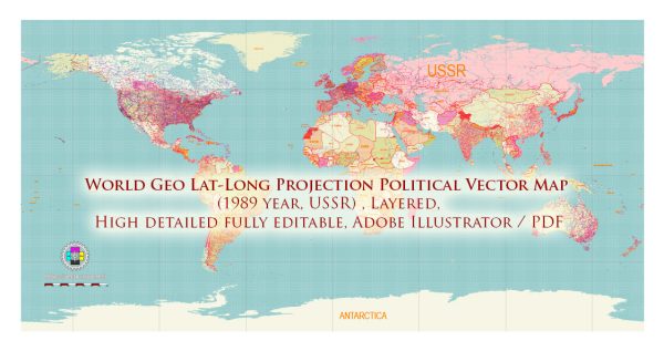
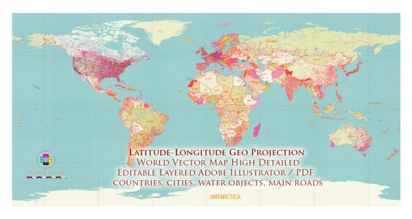
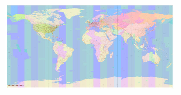
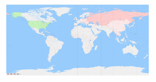
The term “Geo Lat-Long projection” is not a specific map projection itself, but it appears to refer to a geographic coordinate system using latitude and longitude. Latitude and longitude are the coordinates used to specify a location on the Earth’s surface, and they are not a map projection in the traditional sense. Instead, they define a grid system for locating points on the Earth.
Vectormap.Net provide you with the most accurate and up-to-date vector maps in Adobe Illustrator, PDF and other formats, designed for editing and printing. Please read the vector map descriptions carefully.
Geographic Coordinate System (GCS) using Latitude and Longitude:
1. Latitude and Longitude:
- Latitude and longitude are angular measurements that define a point’s location on the Earth’s surface. Latitude measures the north-south position, while longitude measures the east-west position. Latitudes range from -90° to +90°, with the equator at 0°, and longitudes range from -180° to +180°, with the prime meridian at 0°.
2. Spherical Representation:
- The Earth is approximately a sphere, and the geographic coordinate system (GCS) using latitude and longitude assumes a spherical representation. However, the Earth is not a perfect sphere; it is an oblate spheroid. Some coordinate systems may use an ellipsoidal model to account for the Earth’s true shape.
3. Global Standard:
- The use of latitude and longitude as a coordinate system is a global standard and is widely used in cartography, navigation, and geographic information systems (GIS). This system provides a common reference for specifying locations on Earth, facilitating communication and data sharing.
4. Graticule:
- The grid formed by lines of latitude and longitude is known as a graticule. The intersections of these lines represent specific geographic coordinates. The equator, prime meridian, and International Date Line are key reference lines.
5. Limitations:
- While latitude and longitude provide a universal and intuitive way to specify locations, they are not without limitations. For mapping purposes, a map projection is often needed to represent the three-dimensional Earth’s surface on a two-dimensional map. Different map projections introduce distortions in area, shape, distance, or direction, and the choice depends on the specific needs of the map.
6. Applications:
- Geographic coordinate systems using latitude and longitude are essential in various fields, including cartography, navigation, GPS (Global Positioning System), GIS, and location-based services. They are used for mapping, spatial analysis, and locating points on the Earth’s surface.
In summary, the use of latitude and longitude as a coordinate system is fundamental in geography and geospatial sciences. While it is not a map projection per se, it provides a way to specify locations globally and serves as a foundation for various mapping and navigation applications. When creating maps, a suitable map projection is often chosen to represent the Earth’s surface on a flat map.


 Author: Kirill Shrayber, Ph.D. FRGS