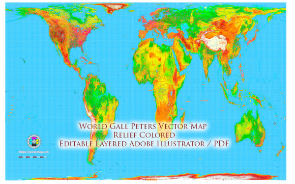
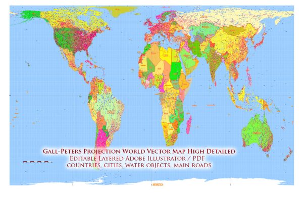
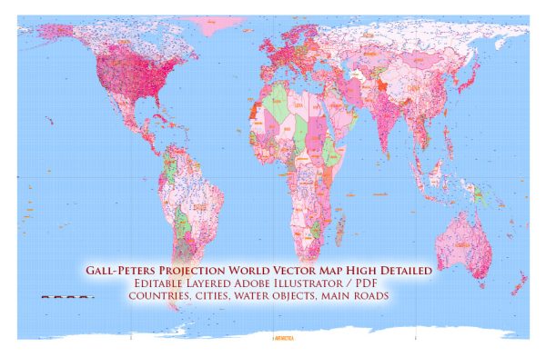
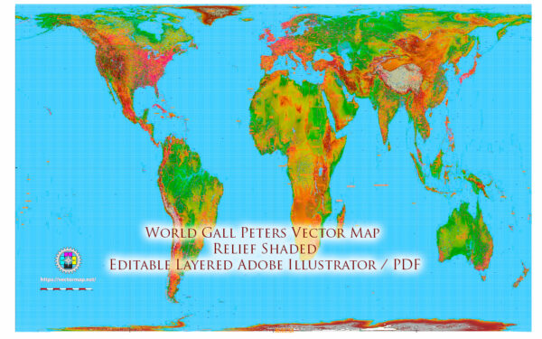
The Gall-Peters projection is a cylindrical equal-area map projection that was first presented by James Gall in 1855 and later independently by Arno Peters in 1974. It was designed to address the distortion issues present in the more commonly used Mercator projection, particularly in terms of area representation.
Vectormap.Net provide you with the most accurate and up-to-date vector maps in Adobe Illustrator, PDF and other formats, designed for editing and printing. Please read the vector map descriptions carefully.
The key features and history of the Gall-Peters projection are as follows:
1. Equal Area:
- One of the main features of the Gall-Peters projection is that it preserves areas accurately. This means that all regions on the map have the correct proportional size in relation to each other, making it an equal-area projection.
2. Distortion of Shape:
- While the Gall-Peters projection excels in preserving area, it does introduce distortions in terms of shape. Shapes of landmasses are not accurately represented, particularly as one moves away from the equator.
3. Origins:
- The Gall-Peters projection was initially proposed by James Gall, a Scottish clergyman, in 1855. However, it gained more attention in the 20th century when Arno Peters, a German historian, independently promoted the projection in the 1970s. Peters argued that the Mercator projection, which had been widely used for navigation, was Eurocentric and distorted the sizes of countries, particularly making those near the equator appear smaller than they actually are.
4. Social and Political Considerations:
- The Gall-Peters projection gained popularity for its attempt to provide a more socially and politically equitable representation of the world. It was seen as a corrective measure against the perceived Eurocentrism of the Mercator projection, as it accurately reflects the sizes of countries in relation to one another, regardless of their latitudinal position.
5. Use in Education:
- The Gall-Peters projection has been used in educational settings to promote a more balanced view of the world. Some argue that it helps counteract biases in understanding the size and importance of different countries, especially those near the equator.
6. Criticisms:
- Despite its equal-area properties, the Gall-Peters projection has faced criticisms for its distortions in shape, making it less suitable for navigation and accurate representation of coastlines. Some alternative equal-area projections have been proposed to address these concerns.
7. Adoption and Controversy:
- The adoption of the Gall-Peters projection has been limited in comparison to other projections like Mercator. Its introduction sparked debates and controversies related to map design, representation, and cultural perspectives.
In summary, the Gall-Peters projection is characterized by its equal-area properties, aiming to present a more socially and politically balanced view of the world. However, its use has not been as widespread as other projections, and debates continue regarding the most suitable representation for various purposes.


 Author: Kirill Shrayber, Ph.D. FRGS