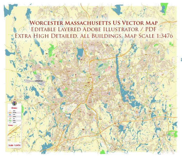
Worcester, Massachusetts, is a vibrant city located in central Massachusetts. It is known for its rich history, diverse communities, and cultural attractions.
Vectormap.Net provide you with the most accurate and up-to-date vector maps in Adobe Illustrator, PDF and other formats, designed for editing and printing. Please read the vector map descriptions carefully.
Here’s a brief overview of some of the districts, communities, and main streets in Worcester:
- Downtown Worcester:
- Main Street: Downtown Worcester is anchored by Main Street, which features a mix of historic buildings, shops, restaurants, and cultural institutions. The Worcester Common, a central public space, is surrounded by City Hall and other government buildings. The Hanover Theatre for the Performing Arts is also located on South Main Street, hosting various performances.
- Shrewsbury Street:
- Known as the city’s “Restaurant Row,” Shrewsbury Street is famous for its diverse dining options. This area features a wide range of international cuisines, cafes, and pubs, making it a popular destination for food enthusiasts.
- WPI (Worcester Polytechnic Institute) Area:
- The Worcester Polytechnic Institute is a prominent university in Worcester. The area around WPI is characterized by a mix of residential housing, student-oriented businesses, and green spaces.
- Worcester’s Canal District:
- This historic district is known for its industrial heritage and is currently undergoing revitalization. The Canal District hosts events like the stART on the Street festival and features a mix of shops, restaurants, and bars. It’s a lively area with a blend of old and new elements.
- Greendale:
- A residential neighborhood in Worcester, Greendale features a mix of single-family homes and some local businesses. It’s known for its community feel and is a popular area for families.
- Burncoat:
- Located in the northern part of Worcester, Burncoat is another residential neighborhood with parks, schools, and local amenities. Burncoat Street is a notable thoroughfare in this area.
- Webster Square:
- Situated in the southwestern part of the city, Webster Square is a commercial and residential area with a mix of local businesses and housing options. It’s a well-connected neighborhood with easy access to major roads.
- Indian Lake:
- A residential area in the northwest of Worcester, Indian Lake is characterized by its proximity to the lake and offers a mix of housing options. It provides a suburban feel within the city.
- Grafton Hill:
- This diverse neighborhood is known for its historic architecture and is home to a mix of families, students, and professionals. It has a distinct urban character with a variety of housing styles.
- Worcester’s East Side:
- The East Side of Worcester is known for its educational institutions, including Worcester State University. It’s a mix of residential and commercial areas, with some historical landmarks and parks.
These descriptions provide a snapshot of Worcester’s diverse neighborhoods, each contributing to the overall character and charm of the city. Keep in mind that cities are dynamic, and the landscape may evolve over time with new developments and community initiatives.


 Author: Kirill Shrayber, Ph.D.