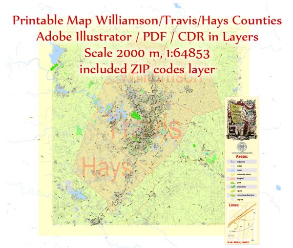
Some general information about Williamson, Travis, and Hays Counties in Texas, including their main cities and towns.
Vectormap.Net provide you with the most accurate and up-to-date vector maps in Adobe Illustrator, PDF and other formats, designed for editing and printing. Please read the vector map descriptions carefully.
Williamson County:
Cities and Towns:
- Georgetown: The county seat of Williamson County, known for its historic downtown and the Southwestern University.
- Round Rock: A rapidly growing city, known for its economic development and sports facilities.
- Cedar Park: Another fast-growing city with a mix of residential and commercial areas.
- Leander: Located to the north of Cedar Park, it has experienced substantial growth in recent years.
- Taylor: Known for its historic architecture and cultural heritage.
Airports:
- Georgetown Municipal Airport (GTU): A public-use airport in Georgetown.
Principal Roads:
- Interstate 35 (I-35): Runs through the eastern part of Williamson County, connecting major cities.
- State Highway 29 (SH 29): Travels east-west through the county, passing through Georgetown and Liberty Hill.
Travis County:
Cities and Towns:
- Austin: The capital of Texas and the fourth-most populous city in the state, known for its vibrant music scene, tech industry, and outdoor activities.
- Pflugerville: A suburb of Austin, experiencing rapid population growth.
- Lakeway: Located near Lake Travis, known for its scenic views and outdoor recreation.
Airports:
- Austin-Bergstrom International Airport (AUS): The primary airport serving the Austin metropolitan area.
Principal Roads:
- Interstate 35 (I-35): Runs through the western part of Travis County, passing through Austin.
- Loop 1 (MoPac Expressway): A major north-south highway running through the western part of the county.
- U.S. Highway 183: Connects Austin to the northwest.
Hays County:
Cities and Towns:
- San Marcos: Home to Texas State University and known for its river, parks, and historic downtown.
- Kyle: Located between Austin and San Marcos, experiencing growth as a suburb.
- Buda: A small town south of Austin, known for its historic district.
Airports:
- There isn’t a major airport in Hays County; Austin-Bergstrom International Airport serves the region.
Principal Roads:
- Interstate 35 (I-35): Runs through the eastern part of Hays County, connecting San Marcos and Kyle.
- U.S. Highway 290: Passes through the northern part of the county, connecting Austin to the west.


 Author: Kirill Shrayber, Ph.D. FRGS