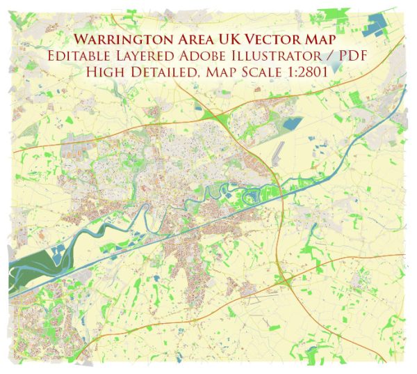
Warrington, a town and unitary authority area in Cheshire, England, has a rich history with several historic places, buildings, streets, and squares that reflect its heritage.
Vectormap.Net provide you with the most accurate and up-to-date vector maps in Adobe Illustrator, PDF and other formats, designed for editing and printing. Please read the vector map descriptions carefully.
Here is a detailed description of some notable landmarks in the Warrington area:
- Warrington Town Hall:
- Located in the town center, Warrington Town Hall is an iconic building with a Victorian architectural style. The town hall serves as a symbol of local governance and has historical significance.
- Warrington Parish Church (St. Elphin’s Church):
- St. Elphin’s Church is a Grade II listed building and one of the oldest in Warrington, dating back to the medieval period. It boasts impressive architecture and is an important religious and historical site.
- Warrington Museum and Art Gallery:
- Situated in the Cultural Quarter, the museum and art gallery showcase Warrington’s cultural and artistic heritage. The building itself has historical significance and houses a diverse collection of artifacts and artworks.
- Golden Square Shopping Centre:
- While not a historic building, the Golden Square Shopping Centre is a prominent feature in modern Warrington. It serves as a major retail hub and a focal point for shopping and entertainment.
- Walton Hall and Gardens:
- Located to the south of Warrington, Walton Hall is a country house set in beautiful gardens and parkland. The hall itself is an impressive Victorian mansion with historical architecture. The surrounding gardens provide a tranquil escape from the urban environment.
- Lymm Village:
- Lymm, a picturesque village near Warrington, is known for its historic buildings, including St. Mary’s Church and the Lymm Cross. The village has charming streets with traditional architecture, creating a timeless atmosphere.
- Stockton Heath Village:
- This village, located to the south of Warrington, has a distinct character with its historic buildings, traditional pubs, and charming streets. The Bridgewater Canal runs through Stockton Heath, adding to its historical appeal.
- Bank Park:
- Bank Park is a public park in Warrington that has a rich history. It features green spaces, a lake, and walking paths, providing a peaceful retreat within the town.
- Orford Hall:
- Orford Hall is a historic building with Tudor-style architecture. While it has undergone various changes over the centuries, it remains an important part of Warrington’s architectural heritage.
- Padgate Lane:
- This road is known for its historical significance, connecting different parts of Warrington. It has witnessed changes and developments over the years, reflecting the town’s growth.
These landmarks collectively contribute to the cultural and historical fabric of Warrington, offering a glimpse into the town’s past and its evolution over time.


 Author: Kirill Shrayber, Ph.D.