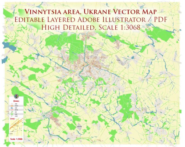
A general overview of the political and transportation history of Vinnytsia, Ukraine.
Vectormap.Net provide you with the most accurate and up-to-date vector maps in Adobe Illustrator, PDF and other formats, designed for editing and printing. Please read the vector map descriptions carefully.
Political History: Vinnytsia has a rich historical background, with its roots dating back to the medieval period. The city has experienced various rulers and political changes over the centuries. Here is a brief overview:
- Medieval Period: Vinnytsia’s history can be traced back to the medieval Grand Duchy of Lithuania, when it was initially established. It later became part of the Polish-Lithuanian Commonwealth.
- Imperial Russia: In the late 18th century, the region, including Vinnytsia, came under Russian control as a result of the partitions of Poland.
- Soviet Era: During the Soviet period, Vinnytsia was part of the Ukrainian Soviet Socialist Republic. The city played a significant role in the agricultural and industrial development of the region.
- World War II: Vinnytsia, like many other Ukrainian cities, witnessed the impact of World War II. The city suffered significant damage during the war, including the loss of infrastructure and human lives.
- Post-Soviet Independence: Following the dissolution of the Soviet Union in 1991, Ukraine gained independence. Vinnytsia became part of an independent Ukraine, experiencing the challenges and opportunities associated with the transition to a market-oriented economy.
Transportation History: Transportation has played a crucial role in Vinnytsia’s development, connecting it with other regions and facilitating economic activities. Key points include:
- Railways: The city is well-connected by rail, and the Vinnytsia Railway Station serves as a vital transportation hub in the region. Rail transport has been instrumental in facilitating the movement of goods and passengers.
- Road Infrastructure: The development of road networks, including highways and local roads, has been essential for connecting Vinnytsia with other cities and regions. Improvements in road infrastructure contribute to economic development and accessibility.
- Public Transportation: Vinnytsia has a public transportation system, including buses and trolleybuses, providing intra-city mobility for residents.
- River Transport: The Southern Bug River flows near Vinnytsia, and historically, river transport has played a role in the movement of goods.
- Aviation: Vinnytsia has an airport (Vinnytsia International Airport), providing air connectivity for both domestic and international flights.


 Author: Kirill Shrayber, Ph.D. FRGS