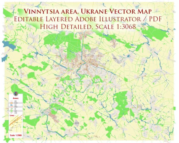
A general overview of Vinnytsia, Ukraine.
Vectormap.Net provide you with the most accurate and up-to-date vector maps in Adobe Illustrator, PDF and other formats, designed for editing and printing. Please read the vector map descriptions carefully.
Vinnytsia Overview: Vinnytsia is a city located in central Ukraine, situated on the banks of the Southern Bug River. It is the administrative center of the Vinnytsia Oblast (region). The city has a rich history, with roots dating back to the 14th century.
Districts and Communities: Vinnytsia is divided into several districts and communities, each with its unique character and features. Some of the districts include:
- Leninsky District: This is one of the central districts of Vinnytsia, known for its historic sites, government buildings, and cultural landmarks.
- Prymorsky District: Situated along the banks of the Southern Bug River, this district offers scenic views and recreational areas. It may have parks and promenades for residents and visitors to enjoy.
- Zamostyansky District: This district might include residential areas, schools, and possibly some industrial zones.
- Sobornyi District: Another central district, Sobornyi, may feature a mix of residential and commercial areas. It might be home to the city’s main square and administrative buildings.
- Havryshivsky District: This district could have a mix of residential and industrial zones.
- Other Communities: Vinnytsia likely has various neighborhoods and communities, each contributing to the city’s diversity. These may include both older, historic areas and newer developments.
Main Streets: Vinnytsia’s main streets are likely to be a combination of historic and modern thoroughfares. Some of the principal streets may include:
- Soborna Street: This street may lead to the city’s main square and be surrounded by shops, restaurants, and cultural institutions.
- Kyivska Street: As a major road, Kyivska Street might host various businesses, offices, and possibly residential areas.
- Khmelnytskoho Street: This street may also be a significant route with shops, cafes, and other establishments.
- Teatralna Street: Known for its connection to cultural institutions like theaters, this street could be a hub for artistic and entertainment activities.
- Mykhailivska Street: This street may lead to historical and religious sites, possibly featuring traditional architecture.
It’s important to note that the cityscape and infrastructure might have evolved since my last update, and I recommend checking more recent sources for the latest information on Vinnytsia’s districts, communities, and main streets.


 Author: Kirill Shrayber, Ph.D. FRGS