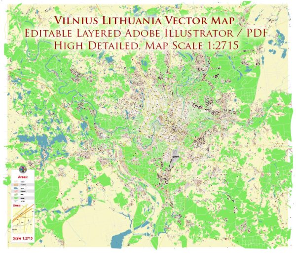
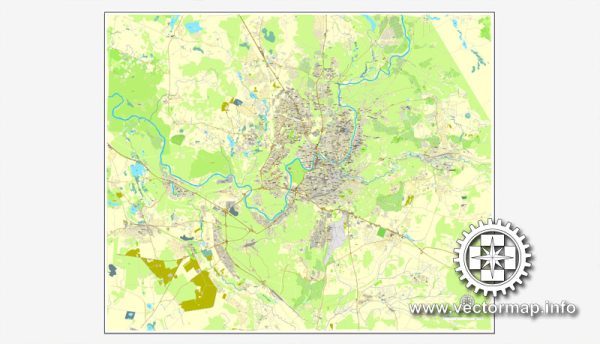
Vilnius, the capital of Lithuania, is a city with a rich history and a diverse urban landscape. The city is known for its well-preserved medieval architecture, vibrant cultural scene, and a mix of different districts, each with its own unique character.
Vectormap.Net provide you with the most accurate and up-to-date vector maps in Adobe Illustrator, PDF and other formats, designed for editing and printing. Please read the vector map descriptions carefully.
Here is a general overview of some of the districts, communities, and main streets in Vilnius:
- Old Town (Senamiestis):
- The heart of Vilnius, the Old Town, is a UNESCO World Heritage Site known for its cobblestone streets, historic buildings, and vibrant atmosphere.
- Key landmarks include the Gediminas Castle Tower, the Cathedral Square with the Vilnius Cathedral, and the Presidential Palace.
- Pilies Street is one of the main streets in the Old Town, lined with shops, cafes, and restaurants.
- Užupis:
- Often referred to as the “Republic of Užupis,” this bohemian and artistic district declared its independence in 1997. It has its own constitution, flag, and president.
- Užupis is known for its quirky atmosphere, street art, and a sense of free-spirited creativity.
- Snipiskes:
- Situated on the other side of the Neris River from the Old Town, Snipiskes is a modern and rapidly developing district.
- It houses the new financial and business center of the city, featuring modern office buildings and skyscrapers.
- Šnipiškės:
- Often confused with Snipiskes, Šnipiškės is a historic neighborhood located between the Old Town and the Neris River.
- Gedimino Avenue, one of the main streets in Vilnius, runs through Šnipiškės and is known for shopping and entertainment.
- Naujamiestis:
- Translating to “New Town,” Naujamiestis is a district known for its 19th and 20th-century architecture.
- The area around Gedimino Avenue is part of Naujamiestis and is a lively commercial and cultural hub.
- Antakalnis:
- Situated on the northern outskirts of the city, Antakalnis is a residential area known for its green spaces and the historic Antakalnis Cemetery.
- The district has a mix of older architecture and newer developments.
- Vingis Park:
- Located in the western part of Vilnius, Vingis Park is one of the largest urban parks in the city.
- It offers recreational areas, walking paths, and is a popular spot for outdoor activities and events.
- Kalnai Park:
- This park is located on the hills overlooking the Old Town and provides panoramic views of the city.
- It’s a peaceful area with walking trails and green spaces.
These descriptions provide a broad overview, and each district and community in Vilnius has its own unique charm and characteristics. The city’s layout and atmosphere make it an intriguing blend of history, culture, and modernity.


 Author: Kirill Shrayber, Ph.D.