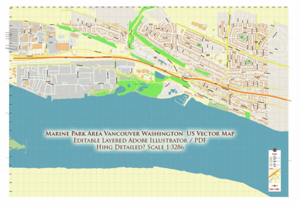
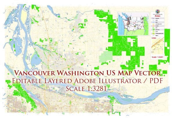
Vancouver, Washington, is a city located in the southwestern part of the state, across the Columbia River from Portland, Oregon. It is part of the Portland metropolitan area and serves as a vibrant and growing community with a mix of residential, commercial, and recreational areas.
Vectormap.Net provide you with the most accurate and up-to-date vector maps in Adobe Illustrator, PDF and other formats, designed for editing and printing. Please read the vector map descriptions carefully.
Districts and Communities:
- Downtown Vancouver:
- Description: The downtown area is the heart of Vancouver, featuring a mix of historic and modern architecture. You can find a variety of shops, restaurants, and cultural attractions. Esther Short Park, one of the oldest public squares in the state, is a focal point for events and gatherings.
- Uptown Village:
- Description: Uptown Village is a trendy and eclectic neighborhood located north of downtown Vancouver. It is known for its artsy atmosphere, local boutiques, cafes, and community events. The area has experienced revitalization in recent years, attracting a diverse mix of residents.
- Pearson Field and McLoughlin Heights:
- Description: Pearson Field is one of the oldest continually operating airfields in the United States. The surrounding McLoughlin Heights neighborhood is residential, offering a mix of housing options.
- Fruit Valley:
- Description: Located to the northwest of downtown, Fruit Valley is a primarily residential area with parks and schools. The community has a mix of housing types, including single-family homes and apartments.
- Fisher’s Landing:
- Description: Situated to the east, Fisher’s Landing is a suburban area with residential neighborhoods and commercial developments. It is known for its family-friendly environment and proximity to the Columbia River.
- Cascade Park:
- Description: Cascade Park is a suburban community to the southeast, offering a range of amenities including shopping centers, schools, and parks. It is a popular area for families.
Main Streets:
- Main Street Downtown Vancouver:
- Description: Main Street in downtown Vancouver is a hub of activity with various shops, restaurants, and businesses. It’s a pedestrian-friendly area, and you’ll find a mix of historic and modern buildings.
- Main Street Uptown Village:
- Description: Uptown Village’s Main Street is known for its vibrant and artistic atmosphere. Lined with local shops, galleries, and cafes, it’s a popular destination for residents and visitors alike.
- Mill Plain Boulevard:
- Description: Mill Plain Boulevard is a major thoroughfare running east-west, featuring a mix of commercial and residential developments. It provides access to various neighborhoods and shopping centers.
- Andresen Road:
- Description: Andresen Road is a north-south route connecting different parts of Vancouver. It hosts various businesses, restaurants, and services.
- East Evergreen Boulevard:
- Description: East Evergreen Boulevard, running through downtown, is another key street with historic significance. It is home to landmarks like Officer’s Row and the Fort Vancouver National Historic Site.
These descriptions provide a broad overview, and each district and community in Vancouver has its unique characteristics, amenities, and charm. As the city continues to grow and develop, there may be changes and new developments in different areas.


 Author: Kirill Shrayber, Ph.D. FRGS