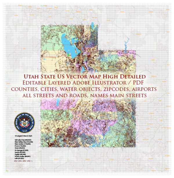
Vectormap.Net provide you with the most accurate and up-to-date vector maps in Adobe Illustrator, PDF and other formats, designed for editing and printing. Please read the vector map descriptions carefully.
Main Cities and Towns in Utah:
- Salt Lake City:
- The capital and largest city of Utah.
- A major economic and cultural hub, known for outdoor recreation, technology, and finance.
- Home to the headquarters of the Church of Jesus Christ of Latter-day Saints (LDS Church).
- Salt Lake City International Airport is a major transportation hub.
- Provo:
- Located south of Salt Lake City, Provo is a city with a strong emphasis on education.
- Home to Brigham Young University (BYU), a private university affiliated with the LDS Church.
- Ogden:
- Historically significant as a major railroad junction.
- Known for outdoor activities and historic sites.
- St. George:
- Located in the southwestern part of the state.
- Known for its warm climate, golf courses, and proximity to outdoor recreation areas like Zion National Park.
- Logan:
- Situated in northern Utah, known for its agricultural community and Utah State University.
- Park City:
- Famous for its ski resorts and outdoor recreation, including the Sundance Film Festival.
- A former mining town turned into a popular tourist destination.
- Moab:
- Located in southeastern Utah near Arches and Canyonlands National Parks.
- Known for its stunning red rock landscapes and outdoor adventure opportunities.
- Cedar City:
- Known for the Utah Shakespeare Festival and Southern Utah University.
- Offers access to national parks like Bryce Canyon and Zion.
Major Toll and Free Roads:
- Interstate 15 (I-15):
- The primary north-south freeway in Utah, connecting the Idaho border to the Arizona border.
- Major cities served include Salt Lake City, Provo, and St. George.
- Interstate 80 (I-80):
- An east-west freeway connecting Nevada to Wyoming.
- Passes through Salt Lake City and provides access to the Bonneville Salt Flats.
- Interstate 70 (I-70):
- Crosses the central part of the state, connecting Utah to Colorado.
- Offers access to national parks like Arches and Canyonlands.
- U.S. Route 89 (US-89):
- A north-south highway running through the central part of the state.
- Provides access to cities like Salt Lake City and Logan.
- U.S. Route 6 (US-6):
- An east-west highway connecting the Nevada border to the Colorado border.
- Passes through Price, Spanish Fork, and other towns.
- U.S. Route 40 (US-40):
- An east-west highway connecting Nevada to Colorado, passing through Salt Lake City and Heber City.
- State Route 9 (SR-9):
- Connects Hurricane to Mount Carmel Junction, passing through the scenic Zion National Park.
- Legacy Parkway:
- A controlled-access highway in the northern part of the Salt Lake City metropolitan area.
- Mountain View Corridor:
- A freeway project in the Salt Lake City area, intended to address transportation needs in the western part of the valley.
Utah’s transportation network is extensive and well-maintained, with both toll and free roads providing efficient connectivity between major cities, towns, and natural attractions.


 Author: Kirill Shrayber, Ph.D. FRGS