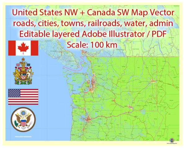
The Northwest part of the United States and the Southwest part of Canada are characterized by diverse landscapes, vibrant cities, and well-connected transportation networks.
Vectormap.Net provide you with the most accurate and up-to-date vector maps in Adobe Illustrator, PDF and other formats, designed for editing and printing. Please read the vector map descriptions carefully.
Here’s an overview of key cities, airports, and principal roads in these regions:
Northwest USA:
- Seattle, Washington:
- Airport: Seattle-Tacoma International Airport (SEA).
- Roads: I-5, I-90, I-405.
- Portland, Oregon:
- Airport: Portland International Airport (PDX).
- Roads: I-5, I-84.
- Boise, Idaho:
- Airport: Boise Airport (BOI).
- Roads: I-84, I-184.
- Spokane, Washington:
- Airport: Spokane International Airport (GEG).
- Roads: I-90, US-2.
- Missoula, Montana:
- Airport: Missoula International Airport (MSO).
- Roads: I-90, US-93.
Southwest Canada:
- Vancouver, British Columbia:
- Airport: Vancouver International Airport (YVR).
- Roads: Trans-Canada Highway (Highway 1), Highway 99.
- Victoria, British Columbia:
- Airport: Victoria International Airport (YYJ).
- Roads: Trans-Canada Highway (Highway 1), Highway 17.
- Calgary, Alberta:
- Airport: Calgary International Airport (YYC).
- Roads: Trans-Canada Highway (Highway 1), Deerfoot Trail (Highway 2).
- Edmonton, Alberta:
- Airport: Edmonton International Airport (YEG).
- Roads: Yellowhead Highway (Highway 16), Anthony Henday Drive.
- Kelowna, British Columbia:
- Airport: Kelowna International Airport (YLW).
- Roads: Highway 97.
Note: The Northwest USA and Southwest Canada regions are known for their scenic drives and outdoor attractions. The road systems mentioned connect major cities, and there are additional regional highways and local roads providing access to smaller towns and recreational areas. Additionally, these regions offer various natural wonders, including national parks, mountains, and coastal landscapes.


 Author: Kirill Shrayber, Ph.D. FRGS