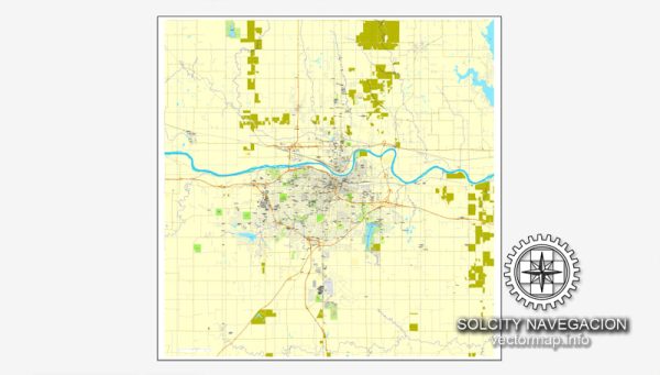
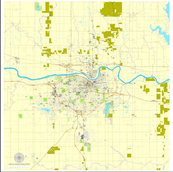
Topeka, the capital city of Kansas, is located in the northeastern part of the state. A general overview of the city’s layout and some notable areas.
Vectormap.Net provide you with the most accurate and up-to-date vector maps in Adobe Illustrator, PDF and other formats, designed for editing and printing. Please read the vector map descriptions carefully.
- Downtown Topeka:
- Kansas Avenue: The main street running through downtown Topeka. It is lined with shops, restaurants, and cultural institutions.
- Topeka Performing Arts Center (TPAC): A prominent venue for concerts, Broadway shows, and other live performances.
- Kansas State Capitol: The state’s seat of government, an iconic building with impressive architecture. The Capitol is surrounded by Capitol Square and features beautiful grounds.
- North Topeka:
- NOTO Arts District (North Topeka Arts District): An area known for its artistic community, with galleries, studios, and unique shops.
- Reinisch Rose Garden: Located in Gage Park, it is a beautiful rose garden named after former mayor Karl Reinisch.
- West Topeka:
- Gage Park: A large public park featuring the Topeka Zoo, the Kansas Children’s Discovery Center, a train, and various recreational facilities.
- Ward-Meade Park Historic Site: A park with historic buildings, including the 1857 Ritchie House, and gardens.
- Southwest Topeka:
- Topeka Country Club: A private country club with a golf course and other recreational amenities.
- East Topeka:
- East Topeka North and South: Residential neighborhoods with schools, parks, and shopping areas.
- Oakland:
- A historic neighborhood in Topeka, known for its diverse community and various churches.
- Shawnee Heights:
- A suburban area east of Topeka with schools, parks, and residential developments.
- Major Roads:
- Interstate 70 (I-70): Runs east-west through Topeka, connecting the city to major destinations across the state.
- Interstate 470 (I-470): A beltway around the southern and eastern parts of Topeka.
- US Route 40 (US-40): Runs east-west through Topeka, paralleling I-70 in some sections.
- Topeka Boulevard: Connects the downtown area to the north and south parts of the city.
To get the most current and detailed information about specific neighborhoods, developments, or changes in Topeka, I recommend checking with local sources, city planning departments, or community organizations.


 Author: Kirill Shrayber, Ph.D. FRGS