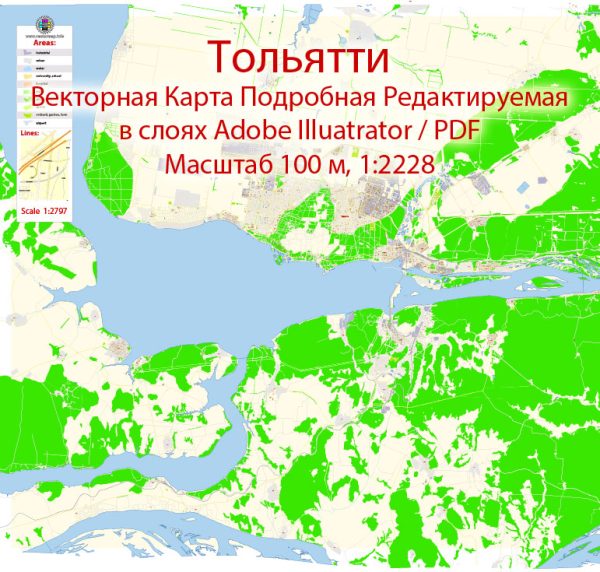
Tolyatti is a city in Russia located in the Samara Oblast.
Vectormap.Net provide you with the most accurate and up-to-date vector maps in Adobe Illustrator, PDF and other formats, designed for editing and printing. Please read the vector map descriptions carefully.
Urban History: Tolyatti was founded in 1737 as a fortress named Stavropol by the Russian government as a defense against nomadic raiders. Over the centuries, it went through various changes and developments. However, the city’s major transformation came in the mid-20th century with the establishment of the AvtoVAZ automobile manufacturing plant, the largest in Russia. The city was then renamed Tolyatti in 1964 in honor of the Italian communist Palmiro Togliatti.
The rapid industrialization associated with the automotive industry led to a significant increase in population, and Tolyatti grew into one of the most important industrial and economic centers in Russia.
Street System: The street system in Tolyatti is likely characterized by a combination of planned urban development and organic growth. The city’s layout probably reflects the various stages of its development, including the initial historical fortress and the later expansion driven by industrialization.
- Central District: The heart of the city is likely to have a more organized and planned street grid, with a concentration of administrative, cultural, and commercial facilities.
- Industrial Zones: Given the industrial nature of Tolyatti, there are likely specific areas with a dense network of roads leading to and from industrial zones. These areas would be crucial for transportation of goods and materials associated with the automotive industry.
- Residential Areas: Surrounding the central and industrial districts, there are probably residential areas with a mix of housing types, from apartment buildings to private houses. The residential street system is likely to be a combination of planned layouts and more organic, evolving patterns.
- Waterfront: Tolyatti is situated along the Volga River, and there might be significant infrastructure and roads along the waterfront, providing access and views of the river.
- Public Spaces: Parks, squares, and recreational areas are likely scattered throughout the city, contributing to a more balanced urban environment. The layout of these public spaces could vary depending on when they were developed.
It’s important to note that urban landscapes can change due to various factors, including city planning initiatives, infrastructure projects, and population growth. For the most accurate and recent information about Tolyatti’s urban history and street system, it would be advisable to refer to local government sources, urban planning documents, or updated maps of the city.


 Author: Kirill Shrayber, Ph.D.