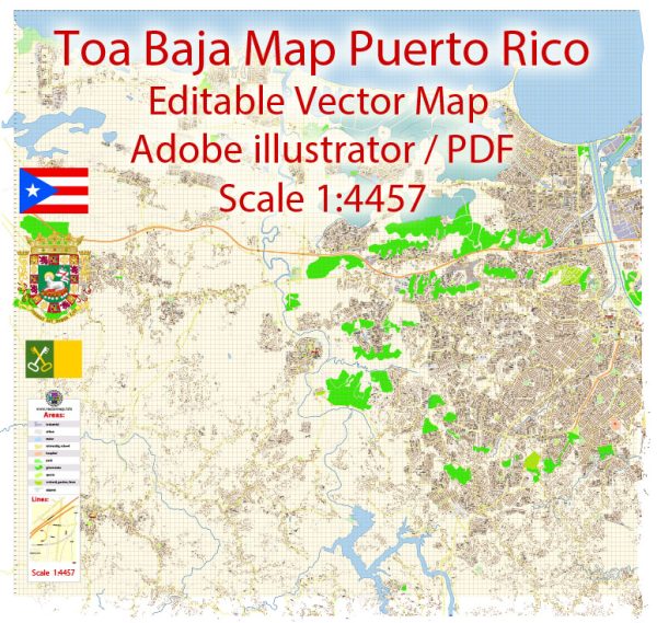
Toa Baja is a municipality located in the northern part of Puerto Rico. It is part of the San Juan Metropolitan Area and is situated along the northern coast of the island.
Vectormap.Net provide you with the most accurate and up-to-date vector maps in Adobe Illustrator, PDF and other formats, designed for editing and printing. Please read the vector map descriptions carefully.
A general overview of the municipality based on historical information.
- Districts: Toa Baja is divided into several barrios (districts), each with its own unique characteristics. Some of the barrios in Toa Baja include:
- Levittown
- Sabana Seca
- Ingenio
- Media Luna
- Candelaria
- Palo Seco
- Pájaros
- Communities:
- Levittown: This is a well-known residential community within Toa Baja. It was developed by Levitt & Sons in the 1960s and is known for its suburban atmosphere, parks, and community amenities.
- Sabana Seca: This area is located on the northern coast and has both residential and industrial zones. It is known for its proximity to the water and has historical significance.
- Pájaros: Another community within Toa Baja, Pájaros is part of the diverse fabric of the municipality.
- Main Streets:
- Avenida Principal: This is one of the main avenues in Toa Baja, often serving as a central route for transportation and commerce.
- Calle 65 de Infantería: This street is named after the 65th Infantry Regiment of the United States Army, a unit composed mostly of Puerto Ricans. It may serve as a notable route within Toa Baja.
- Calle Félix Ochoteco: Another street that may be of significance in Toa Baja.
It’s important to note that the details provided are based on general knowledge and may not include the most recent developments or changes. Local residents, community centers, or municipal authorities can provide more up-to-date and specific information regarding neighborhoods, streets, and districts in Toa Baja. Additionally, maps and online resources can be useful for detailed exploration.


 Author: Kirill Shrayber, Ph.D. FRGS