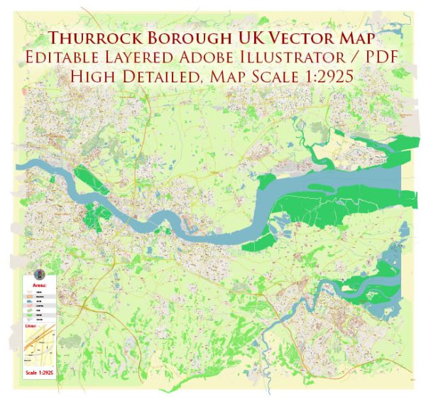
A general overview of Thurrock Borough’s urban history and street system. Thurrock is located in Essex, England, and it’s known for its mix of urban and rural areas. The borough has a rich history that spans centuries.
Vectormap.Net provide you with the most accurate and up-to-date vector maps in Adobe Illustrator, PDF and other formats, designed for editing and printing. Please read the vector map descriptions carefully.
Urban History: The history of Thurrock is closely tied to its geographical location along the River Thames. The area has been inhabited since ancient times, and evidence of Roman and Saxon settlements has been found. Thurrock’s proximity to London and its access to water transportation contributed to its growth and development over the years.
In the 19th and early 20th centuries, Thurrock underwent significant industrialization, with the establishment of industries such as brickmaking, cement production, and the Thameside oil refineries. The borough played a crucial role in the London docks, with Tilbury being an important port. The industrialization led to the growth of urban areas, and residential neighborhoods developed to accommodate the workforce.
During the latter half of the 20th century, Thurrock saw further urbanization and expansion, with the creation of new towns and housing developments to meet the growing population’s needs.
Street System: The street system in Thurrock, like many other parts of the United Kingdom, consists of a network of roads, streets, and highways. The layout and design of the street system vary across different parts of the borough. Thurrock is well-connected by major roads and motorways, including the M25 motorway, which circles London and provides access to other parts of the country.
Key towns and areas within Thurrock include Grays, Tilbury, Stanford-le-Hope, Purfleet, and Aveley. Each of these areas has its own set of streets, residential neighborhoods, commercial zones, and public facilities.
The town of Grays, being the largest in Thurrock, has a more developed and intricate street system. It serves as a commercial and administrative center for the borough. Tilbury, with its historic port, has streets that reflect its industrial heritage.
Recent Developments: Urban development and infrastructure projects may have occurred since my last update. Thurrock Borough Council and other local authorities likely have been involved in planning and implementing initiatives to improve transportation, infrastructure, and overall urban living conditions.
For the most current and specific information, it’s recommended to check with local government sources, planning departments, or updated regional guides that provide details about Thurrock’s urban history and street system.


 Author: Kirill Shrayber, Ph.D. FRGS