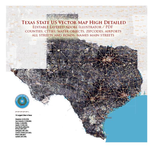
Texas, the second-largest state in the United States, boasts a diverse and extensive network of rivers, lakes, sea harbors, and bays.
Vectormap.Net provide you with the most accurate and up-to-date vector maps in Adobe Illustrator, PDF and other formats, designed for editing and printing. Please read the vector map descriptions carefully.
Here is a detailed description of some of the prominent water bodies in Texas:
Rivers:
- Rio Grande:
- The Rio Grande forms a significant portion of the border between Texas and Mexico.
- It is the fourth-longest river in the U.S. and flows through the Big Bend region, creating canyons and offering stunning landscapes.
- Brazos River:
- The Brazos River is the longest river entirely within Texas, flowing from the panhandle to the Gulf of Mexico.
- It plays a crucial role in supplying water for agriculture and serves as a popular recreation destination.
- Colorado River:
- The Colorado River runs through the central part of Texas, serving various reservoirs and providing water for cities like Austin and San Antonio.
- Mansfield Dam forms Lake Travis, a popular recreational spot along the Colorado River.
- Red River:
- The Red River serves as the border between Texas and Oklahoma.
- It has played a historical role in the region and is known for its red-colored sediment.
Lakes:
- Lake Sam Rayburn:
- Located in East Texas, Lake Sam Rayburn is the largest lake entirely within the state.
- It’s a popular destination for boating, fishing, and camping.
- Toledo Bend Reservoir:
- Shared with Louisiana, Toledo Bend is one of the largest man-made reservoirs in the U.S.
- It offers excellent fishing opportunities and recreational activities.
- Lake Travis:
- Formed by the Mansfield Dam on the Colorado River, Lake Travis is a reservoir near Austin.
- It’s a favorite spot for water sports, camping, and lakeside activities.
- Caddo Lake:
- Straddling the Texas-Louisiana border, Caddo Lake is known for its cypress trees and Spanish moss.
- It’s a unique ecosystem and offers scenic boat tours.
Sea Harbors and Bays:
- Galveston Bay:
- Galveston Bay is a large estuary along the Gulf of Mexico, providing access to the Port of Houston.
- It’s a vital economic hub for shipping and commerce.
- Corpus Christi Bay:
- Home to the Port of Corpus Christi, this bay is a major gateway for the export of energy resources.
- The bay is an important habitat for various marine species.
- Matagorda Bay:
- Matagorda Bay is known for its rich biodiversity and serves as a nursery for juvenile marine life.
- It’s a popular destination for anglers and birdwatchers.
These water bodies contribute significantly to Texas’s economy, provide recreational opportunities, and support diverse ecosystems. The state’s geography and varied landscapes make its rivers, lakes, and bays essential to both residents and visitors alike.


 Author: Kirill Shrayber, Ph.D. FRGS