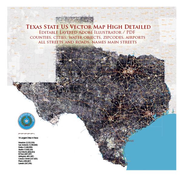
Texas is the second-largest state in the United States and is known for its diverse landscapes, vibrant cities, and robust economy.
Vectormap.Net provide you with the most accurate and up-to-date vector maps in Adobe Illustrator, PDF and other formats, designed for editing and printing. Please read the vector map descriptions carefully.
Here’s a detailed description of some of the main cities, ports, towns, and principal roads in Texas:
Main Cities:
- Houston:
- Located in southeast Texas, Houston is the largest city in the state.
- It is a major hub for the energy industry, particularly oil and natural gas.
- Houston is home to the NASA Johnson Space Center and has a rich cultural scene with numerous museums and theaters.
- Dallas:
- Situated in North Texas, Dallas is a prominent business and cultural center.
- The city is known for its modern architecture, shopping, and a thriving arts district.
- Dallas-Fort Worth International Airport is one of the busiest airports in the world.
- San Antonio:
- Located in south-central Texas, San Antonio is famous for the historic Alamo and the scenic River Walk.
- It has a rich cultural heritage and is known for its Spanish colonial architecture.
- Austin:
- The state capital, Austin, is in central Texas and is known for its vibrant live music scene.
- It is also a major technology and innovation hub and hosts the annual SXSW (South by Southwest) festival.
- Fort Worth:
- Adjacent to Dallas, Fort Worth is known for its Western heritage and the Stockyards National Historic District.
- The city has a strong presence in the defense and aviation industries.
- El Paso:
- Situated on the western tip of Texas, El Paso is a border city with a rich blend of Mexican and American cultures.
- It has a significant military presence and is one of the busiest border crossings in the U.S.
Ports:
- Port of Houston:
- One of the largest and busiest ports in the United States, handling a diverse range of cargoes, including petrochemicals and containerized goods.
- Port of Corpus Christi:
- A major seaport on the Gulf of Mexico, handling primarily energy-related exports and imports.
- Port of Beaumont:
- Located on the Neches River, it is a deep-water port known for handling bulk cargo, including military equipment.
Towns:
- Galveston:
- A coastal town known for its historic architecture and as a popular tourist destination.
- Amarillo:
- In the Texas Panhandle, Amarillo is known for the iconic Cadillac Ranch and a strong ranching heritage.
- Lubbock:
- A hub for agriculture and education, Lubbock is in northwest Texas and is the birthplace of Buddy Holly.
Principal Roads:
- Interstate 10 (I-10):
- A major east-west interstate that traverses the southern part of the state, connecting cities like El Paso, San Antonio, and Houston.
- Interstate 35 (I-35):
- A crucial north-south interstate that connects the major cities of Dallas, Austin, and San Antonio.
- Interstate 45 (I-45):
- Links Dallas and Houston, passing through cities like Corsicana and Huntsville.
- Interstate 20 (I-20):
- Connects Dallas and Fort Worth to cities in West Texas, such as Abilene and Midland.
- U.S. Route 83:
- Runs from the Texas-Mexico border to the Texas-Oklahoma border, passing through cities like Laredo, McAllen, and Harlingen.
These are just a few highlights, and Texas is a vast and diverse state with many more cities, towns, and roads contributing to its rich tapestry.


 Author: Kirill Shrayber, Ph.D. FRGS