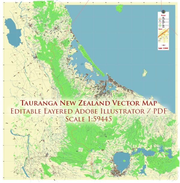
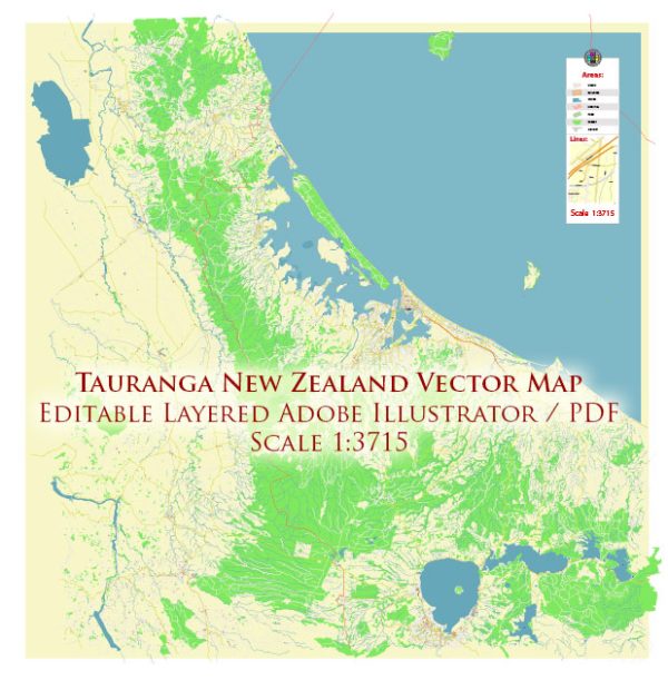
A general overview of the districts, communities, and main streets in Tauranga, New Zealand.
Vectormap.Net provide you with the most accurate and up-to-date vector maps in Adobe Illustrator, PDF and other formats, designed for editing and printing. Please read the vector map descriptions carefully.
Tauranga is a city located in the Bay of Plenty region on the North Island of New Zealand. It is a popular destination known for its beautiful harbor, beaches, and vibrant community. The city is divided into various districts and communities, each with its own characteristics and attractions.
- City Centre:
- The heart of Tauranga, the city centre is a hub for shopping, dining, and entertainment.
- The Strand is a popular waterfront area with cafes, restaurants, and views of Tauranga Harbor.
- Devonport Road is a main street in the central business district, lined with shops and offices.
- Mount Maunganui:
- Often referred to as “The Mount,” this coastal suburb is known for its stunning beach, Mount Maunganui, and vibrant atmosphere.
- Maunganui Road is a key street running through the area, offering access to the beach, shops, and eateries.
- Pilot Bay, facing Tauranga Harbor, is a popular spot for water activities and relaxation.
- Greerton:
- Located southwest of the city centre, Greerton is a suburban area with a village-like atmosphere.
- Cameron Road runs through Greerton and is a significant route for accessing the area.
- Brookfield:
- A residential suburb situated to the northwest of Tauranga’s city centre.
- Otumoetai College, one of the prominent secondary schools, is located in this area.
- Bethlehem:
- A residential suburb located to the west of Tauranga, known for its schools, parks, and shopping facilities.
- Bethlehem Town Centre is a commercial area with retail stores and amenities.
- Welcome Bay:
- Situated to the northeast of the city, Welcome Bay is a residential area with a mix of housing and green spaces.
- Welcome Bay Road is a major road in the area.
- Papamoa:
- A coastal suburb to the east of Tauranga known for its long stretch of sandy beaches.
- Part of Papamoa is a rapidly growing residential area with new developments.
- Pyes Pa:
- Located south of Tauranga, Pyes Pa is a predominantly rural area with some residential developments.
- Pyes Pa Road is a main road in this region.
It’s important to note that Tauranga has experienced population growth and development in recent years, so new areas and changes to existing ones may have occurred. For the most up-to-date and detailed information, it’s recommended to check local sources or contact the Tauranga City Council for the latest community updates and developments.


 Author: Kirill Shrayber, Ph.D. FRGS