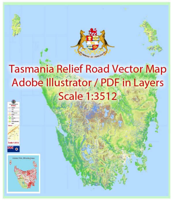
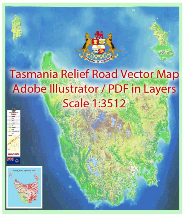
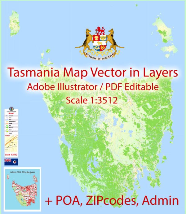
Tasmania is an island state of Australia, located to the south of the mainland. It is known for its stunning landscapes, diverse wildlife, and historical sites.
Vectormap.Net provide you with the most accurate and up-to-date vector maps in Adobe Illustrator, PDF and other formats, designed for editing and printing. Please read the vector map descriptions carefully.
Here’s a detailed description of some of the main cities, ports, towns, and principal roads in Tasmania:
Main Cities:
- Hobart:
- Description: Hobart is the capital and largest city of Tasmania. It is situated in the south of the island on the estuary of the Derwent River. The city is known for its historic architecture, vibrant arts scene, and the iconic Salamanca Market. Mount Wellington, towering over the city, provides breathtaking views.
- Launceston:
- Description: Located in the north of Tasmania, Launceston is the second-largest city. It’s known for its well-preserved colonial architecture, including Cataract Gorge, a picturesque natural reserve. Launceston is an important hub for agriculture and has a lively cultural scene.
Ports:
- Port of Hobart:
- Description: As the capital city’s port, it is a major shipping gateway for Tasmania. It handles a variety of cargo, including forestry products, minerals, and general goods. It also serves as a cruise ship port.
- Port of Launceston (Bell Bay):
- Description: Bell Bay is a deep-water port near Launceston. It primarily handles bulk cargo, including aluminum, woodchips, and minerals. The port is a significant contributor to the region’s economy.
Towns:
- Devonport:
- Description: Situated on the northwest coast, Devonport is a major regional center. It serves as the gateway to Tasmania for passengers arriving via the Spirit of Tasmania ferry from Melbourne. The town has a maritime history and is known for its beaches and parks.
- Burnie:
- Description: Located on the northwest coast, Burnie is an industrial town with a deep-water port. It is known for its paper and pulp industry, as well as being a gateway to the scenic northwest coast.
- Queenstown:
- Description: Nestled in the rugged wilderness of the west coast, Queenstown is known for its unique landscapes shaped by mining activities. The town is surrounded by mountains and is a destination for outdoor enthusiasts.
Principal Roads:
- Bass Highway:
- Description: This major highway runs from Launceston in the north to Burnie on the northwest coast, providing a crucial transport link for both goods and passengers.
- Midland Highway:
- Description: Connecting Hobart in the south to Launceston in the north, the Midland Highway is a vital road artery for the island, passing through major towns like Oatlands and Campbell Town.
- East Coast Escape (Tasman Highway):
- Description: Running along the scenic east coast, the Tasman Highway connects Hobart to St Helens. It offers breathtaking coastal views and access to attractions like Freycinet National Park.
- West Coast Highway:
- Description: This road traverses the rugged terrain of the west coast, passing through towns like Queenstown and Strahan. It provides access to the pristine wilderness of the region.
These cities, ports, towns, and roads collectively contribute to Tasmania’s economic activities, tourism, and cultural richness. The island’s unique blend of history, nature, and industry makes it a fascinating part of Australia.


 Author: Kirill Shrayber, Ph.D.