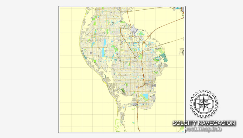
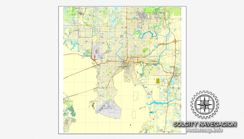
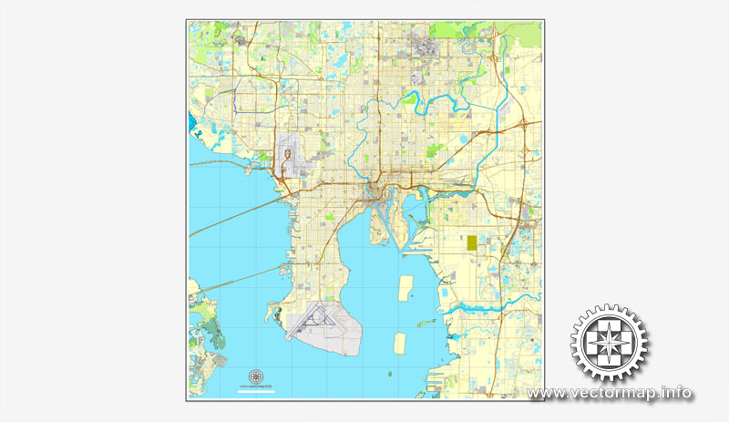
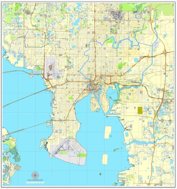
Tampa, Florida, is a vibrant city located on the Gulf Coast of the state. It’s known for its diverse neighborhoods, cultural attractions, and waterfront areas.
Vectormap.Net provide you with the most accurate and up-to-date vector maps in Adobe Illustrator, PDF and other formats, designed for editing and printing. Please read the vector map descriptions carefully.
1. Downtown Tampa:
- Main Streets: Downtown Tampa is the central business district and features streets like Franklin Street and Tampa Street. Channelside Drive is known for its waterfront access and entertainment venues.
- Landmarks: The Tampa Riverwalk, Curtis Hixon Waterfront Park, and the Tampa Convention Center are key landmarks. The area is home to various corporate offices, government buildings, and cultural institutions.
2. Ybor City:
- Main Streets: 7th Avenue is the heart of Ybor City, historically known for its cigar industry. It’s a lively area with historic architecture and a mix of entertainment options.
- Landmarks: The Ybor City State Museum, Columbia Restaurant, and Centro Ybor shopping and entertainment complex.
3. Hyde Park:
- Main Streets: Hyde Park Village, located on Swann Avenue, is a popular shopping and dining destination. Bayshore Boulevard, often considered the world’s longest continuous sidewalk, runs along the waterfront.
- Landmarks: Hyde Park is known for its upscale residential areas, boutique shops, and the scenic Bayshore Boulevard with views of Tampa Bay.
4. Westshore:
- Main Streets: Westshore Boulevard is a major thoroughfare with numerous office buildings, shopping centers, and hotels.
- Landmarks: The Westshore Business District is a hub for corporate offices, shopping at International Plaza and Bay Street, and proximity to Tampa International Airport.
5. Seminole Heights:
- Main Streets: Florida Avenue runs through Seminole Heights, which is known for its historic bungalow-style homes.
- Landmarks: Seminole Heights has a distinct artsy and hipster vibe, with local breweries, vintage shops, and diverse dining options.
6. Channelside:
- Main Streets: Channelside Drive is a waterfront area with a mix of residential and entertainment options.
- Landmarks: Amalie Arena, home to the Tampa Bay Lightning NHL team, is a major landmark. The area is also known for the Florida Aquarium.
7. Davis Islands:
- Main Streets: Davis Islands is a residential area with beautiful homes and parks.
- Landmarks: Peter O. Knight Airport, Davis Islands Yacht Club, and Marjorie Park Marina are notable landmarks on the islands.
8. Temple Terrace:
- Main Streets: 56th Street and Fowler Avenue are major thoroughfares in Temple Terrace.
- Landmarks: Temple Terrace is home to the University of South Florida’s main campus and the Museum of Science & Industry (MOSI).
These are just a few of the neighborhoods and areas in Tampa, each offering its own unique character and amenities. The city is known for its mix of urban and suburban environments, diverse communities, and a range of cultural and recreational opportunities.


 Author: Kirill Shrayber, Ph.D. FRGS