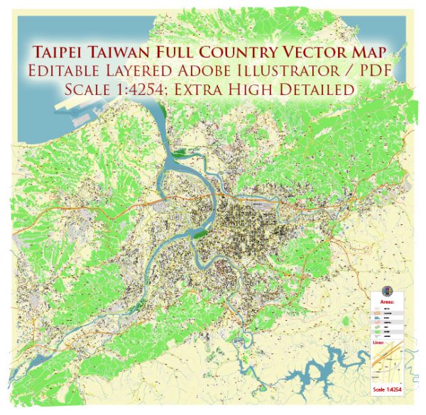
A general description of the port, main streets, and roads in Taipei, Taiwan.
Vectormap.Net provide you with the most accurate and up-to-date vector maps in Adobe Illustrator, PDF and other formats, designed for editing and printing. Please read the vector map descriptions carefully.
Port:
- Port of Taipei (Keelung Port):
- Taipei’s primary port is the Port of Taipei, also known as Keelung Port. It is located in the northern part of Taiwan, in the city of Keelung.
- The port serves as a major gateway for both passenger and cargo ships. It is an essential hub for international trade and transportation.
Main Streets and Roads:
- Zhongxiao Road (Chung Hsiao Road):
- Zhongxiao Road is one of the main thoroughfares in Taipei, known for its bustling activity, shopping, and entertainment options.
- It is divided into two sections: Zhongxiao East Road and Zhongxiao West Road. Zhongxiao East Road is particularly famous for its shopping districts and is a central location for tourists.
- Xinyi Road:
- Xinyi Road is another significant road, especially in the eastern part of Taipei. It is home to Taipei 101, one of the tallest skyscrapers in the world, and the surrounding Xinyi District is a modern and upscale area with shopping malls, restaurants, and entertainment.
- Roosevelt Road:
- Roosevelt Road is a major road that runs through several districts in Taipei. It is known for hosting cultural institutions, universities, and government buildings.
- Bao’an Street:
- Bao’an Street is famous for its night market, providing a variety of street food and local products. Night markets are an integral part of Taipei’s vibrant food and cultural scene.
- Chengde Road:
- Chengde Road is known for its historical significance, as it houses the Chiang Kai-shek Memorial Hall, a prominent landmark in Taipei.
- Songshan Airport Area:
- Songshan Airport, located in the Songshan District, is an important domestic airport in Taipei. The area around the airport has developed with commercial and residential spaces.
- National Freeway 1 (Sun Yat-sen Freeway):
- The National Freeway 1 is a major highway that connects Taipei to other cities in Taiwan. It plays a crucial role in the transportation network of the island.
These descriptions provide a snapshot of some key features in Taipei’s port, main streets, and roads. Remember that urban landscapes can change, and new developments may have occurred since my last update. For the most current and detailed information, consider consulting local maps, city guides, or online resources.


 Author: Kirill Shrayber, Ph.D.