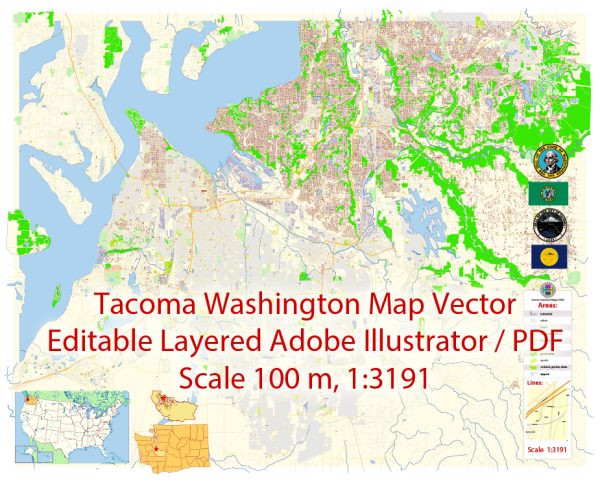
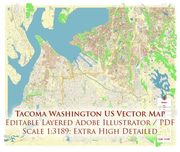
A general overview of the port, main streets, and roads in Tacoma, Washington.
Vectormap.Net provide you with the most accurate and up-to-date vector maps in Adobe Illustrator, PDF and other formats, designed for editing and printing. Please read the vector map descriptions carefully.
Port of Tacoma: The Port of Tacoma is a major seaport located on the Puget Sound in Tacoma, Washington. It is one of the largest container ports in North America and plays a crucial role in international trade. The port facilities include container terminals, bulk cargo facilities, and intermodal yards for efficient transportation of goods.
Main Streets in Tacoma: Tacoma is a city with a well-developed road network. Some of the main streets in Tacoma include:
- Pacific Avenue: Pacific Avenue is one of the main thoroughfares in Tacoma, running through the downtown area. It is known for its historic architecture, shops, restaurants, and cultural attractions.
- South Tacoma Way: This street runs south through the city and is a commercial corridor with various businesses, including shops, restaurants, and services.
- 6th Avenue: Located in the North End, 6th Avenue is a vibrant district with a mix of residential and commercial properties. It is known for its diverse array of shops, cafes, and entertainment options.
- Martin Luther King Jr. Way: Running through the central part of Tacoma, this street is named after the civil rights leader and is an important route for local transportation.
Major Roads: Several major roads and highways serve the Tacoma area, providing connectivity to neighboring cities and regions. Some of the significant ones include:
- Interstate 5 (I-5): I-5 is a major north-south interstate highway that passes through Tacoma, connecting it to cities like Seattle to the north and Olympia to the south.
- State Route 16 (SR-16): This highway provides a connection from Tacoma to the Kitsap Peninsula and the Olympic Peninsula.
- State Route 167 (SR-167): SR-167 is a north-south highway connecting Tacoma to communities in the south, including Puyallup and Auburn.
- State Route 7 (SR-7): SR-7 runs through Tacoma and connects the city to communities south and east of the area.
Please note that road and infrastructure development can change, and it’s advisable to check with local authorities or navigation apps for the most up-to-date information on the port, streets, and roads in Tacoma.


 Author: Kirill Shrayber, Ph.D.