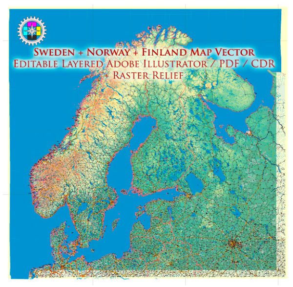
A brief overview of the main cities and principal roads in Sweden, Norway, and Finland.
Vectormap.Net provide you with the most accurate and up-to-date vector maps in Adobe Illustrator, PDF and other formats, designed for editing and printing. Please read the vector map descriptions carefully.
Sweden:
Main Cities:
- Stockholm: The capital and largest city of Sweden, located on the eastern coast. It is known for its archipelago, historic buildings, and cultural attractions.
- Gothenburg (Göteborg): Situated on the west coast, it is Sweden’s second-largest city and an important seaport. Known for its maritime history and cultural scene.
- Malmö: Located in the southern part of Sweden, Malmö is connected to Copenhagen in Denmark by the Öresund Bridge. It’s a diverse city with a rich history.
- Uppsala: A historic city to the north of Stockholm, home to Uppsala University and many historical landmarks.
Principal Roads:
- E4: One of Sweden’s major highways, stretching from Helsingborg in the south to Gävle in the north, passing through Stockholm.
- E6: A north-south European route, passing through Gothenburg and Malmö, connecting Norway and Sweden.
- E18: Connecting Stockholm with the Norwegian border, passing through cities like Karlstad and Oslo in Norway.
Norway:
Main Cities:
- Oslo: The capital and largest city of Norway, located in the southern part of the country. Known for its modern architecture, museums, and vibrant cultural scene.
- Bergen: A picturesque city on the western coast, surrounded by mountains and fjords. It is a UNESCO World Heritage City.
- Trondheim: Located in central Norway, it’s known for its medieval architecture and the Nidaros Cathedral.
- Stavanger: Situated on the southwestern coast, Stavanger is an important center for the oil industry and has a charming old town.
Principal Roads:
- E6: The main north-south European route in Norway, running from the southern tip to the northernmost point of the country, passing through Oslo and Trondheim.
- E18: Connecting Oslo to the southwestern coast, passing through cities like Drammen and Kristiansand.
- E39: Running along the western coast, connecting cities like Kristiansand, Stavanger, and Bergen.
Finland:
Main Cities:
- Helsinki: The capital and largest city, located on the southern coast. It’s a cultural and economic hub with significant historical landmarks.
- Espoo: Part of the Helsinki metropolitan area, Espoo is the second-largest city in Finland and known for its technology and innovation.
- Tampere: Located in the southern part of the country, Tampere is an industrial and cultural center.
- Turku: Situated on the southwestern coast, Turku is one of the oldest cities in Finland and served as the country’s capital in the past.
Principal Roads:
- E4: Connecting Helsinki with cities in southern and northern Finland, as well as to Sweden.
- E75: Running from Helsinki to the northern border, passing through cities like Tampere and Oulu.
- E18: Connecting Helsinki with cities on the southwestern coast, including Turku.


 Author: Kirill Shrayber, Ph.D. FRGS