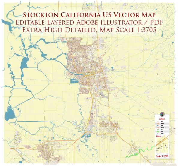
A general overview of Stockton, California, including some of its districts, communities, and main streets.
Vectormap.Net provide you with the most accurate and up-to-date vector maps in Adobe Illustrator, PDF and other formats, designed for editing and printing. Please read the vector map descriptions carefully.
- Downtown Stockton:
- Downtown Stockton serves as the city’s central business and cultural district.
- The Weber Avenue is a notable street in downtown, featuring shops, restaurants, and cultural venues.
- The Bob Hope Theatre, a historic venue, is located in this district and hosts various performances and events.
- Brookside:
- Brookside is a residential community in the western part of Stockton, known for its suburban feel and amenities.
- The Brookside Country Club is a prominent feature, offering golf and recreational facilities.
- Lincoln Village West:
- Another residential community, Lincoln Village West, is located in the northwest part of Stockton.
- It features parks, schools, and is situated near Interstate 5.
- University of the Pacific Area:
- Home to the University of the Pacific, this area has a mix of residential and educational facilities.
- The campus is known for its beautiful architecture and green spaces.
- Seaport District:
- The Seaport District is located near the Stockton Deep Water Channel and is known for its industrial and commercial activities, including the Port of Stockton.
- Waterloo District:
- This district includes the Waterloo Gun & Bocce Club and is known for its recreational and social activities.
- Morada:
- Morada is a suburban community in the northern part of Stockton, featuring residential neighborhoods.
- March Lane:
- March Lane is a major east-west thoroughfare, hosting various commercial establishments, shopping centers, and restaurants.
- Pacific Avenue:
- Pacific Avenue is a significant north-south thoroughfare, featuring a mix of businesses, shopping centers, and residential areas.
- Hammer Lane:
- Hammer Lane is another important east-west corridor, known for retail and commercial developments.
- Sherwood Mall Area:
- The Sherwood Mall is a popular shopping destination in Stockton, surrounded by commercial and residential areas.
It’s essential to check the most recent local resources or contact the city’s municipal offices for the latest and most accurate information regarding Stockton’s districts, communities, and main streets, as urban landscapes can evolve over time.


 Author: Kirill Shrayber, Ph.D. FRGS