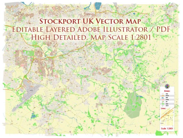
Stockport, located in Greater Manchester, England, has a rich history that dates back to ancient times. The town has evolved from a small market town to a thriving industrial center, and today, it combines historical charm with modern amenities.
Vectormap.Net provide you with the most accurate and up-to-date vector maps in Adobe Illustrator, PDF and other formats, designed for editing and printing. Please read the vector map descriptions carefully.
Here’s a brief overview of Stockport’s history and some of its main streets:
History:
- Medieval Origins:
- Stockport’s history can be traced back to the medieval period when it was a small market town. The town’s name is believed to originate from “stoc,” meaning a hamlet or secondary settlement, and “port,” referring to a market.
- Market Town and Industrialization:
- Stockport developed as a market town due to its strategic location along the River Mersey. In the 18th and 19th centuries, the town experienced significant industrialization, with the textile industry playing a crucial role. Mills and factories were established, contributing to the town’s economic growth.
- Stockport Viaduct:
- One of the town’s iconic landmarks is the Stockport Viaduct, completed in 1840. This massive red-brick structure carries the West Coast Main Line over the River Mersey and is a testament to the engineering prowess of the Victorian era.
- Hatting Industry:
- Stockport was renowned for its hatting industry during the 19th and early 20th centuries. The town’s connection with hat-making is reflected in the Hat Works museum, which provides insights into this once-thriving trade.
- World War II:
- Stockport, like many industrial towns, played a significant role in supporting the war effort during World War II. The town experienced bombings, and remnants of air raid shelters can still be found.
- Post-War Development:
- In the post-war period, Stockport saw urban redevelopment and expansion. The construction of new housing and infrastructure transformed the town, and it became part of the broader economic and cultural landscape of Greater Manchester.
Main Streets:
- Wellington Road South:
- This is one of the primary thoroughfares in Stockport’s town center, featuring a mix of shops, restaurants, and businesses. It is a bustling area and a key location for both residents and visitors.
- A6 (London Road):
- The A6 is a major road that runs through Stockport, connecting it to Manchester and Buxton. It intersects with various streets in Stockport and provides access to different parts of the town.
- Merseyway:
- Merseyway is a shopping center in the heart of Stockport, contributing to the town’s retail and commercial activity. It is easily accessible from Wellington Road South and other nearby streets.
- St. Petersgate:
- St. Petersgate is another important street in Stockport, known for its historic architecture and cultural significance. It is part of the town’s core and contributes to its character.
- Greek Street and Little Underbank:
- These streets are located in the historic core of Stockport. Greek Street is known for its traditional architecture, and Little Underbank, with its cobbled street, hosts shops and cafes, providing a glimpse into the town’s past.
Stockport’s history is intertwined with its industrial heritage, and its main streets reflect the evolution of the town over the centuries. Today, Stockport continues to be a dynamic and diverse community with a mix of historical charm and modern amenities.


 Author: Kirill Shrayber, Ph.D. FRGS