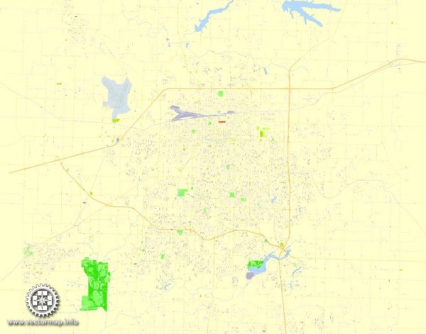
Some information about the districts, communities, and main streets of Springfield, Missouri, a general overview of the city’s layout and some of its notable areas.
Vectormap.Net provide you with the most accurate and up-to-date vector maps in Adobe Illustrator, PDF and other formats, designed for editing and printing. Please read the vector map descriptions carefully.
- Downtown Springfield:
- This area typically serves as the city’s central business district and is home to a mix of businesses, restaurants, shops, and entertainment venues.
- Historic C-Street (Commercial Street) is a notable part of downtown known for its historic architecture, unique shops, and cultural events.
- University Heights:
- Springfield is home to Missouri State University, and the University Heights area is often associated with the university campus and student life.
- Rountree Neighborhood:
- Known for its historic homes and tree-lined streets, Rountree is a residential neighborhood that exudes a sense of community.
- Galloway Village:
- Galloway is a trendy and eclectic area known for its unique shops, cafes, and a bohemian atmosphere.
- Medical Mile:
- This district is home to various medical facilities, including hospitals and clinics, creating a concentration of healthcare services.
- Southwest Springfield:
- This area is characterized by a mix of residential and commercial developments. It includes shopping centers, parks, and suburban neighborhoods.
- Battlefield Mall Area:
- The Battlefield Mall is a major shopping destination in Springfield, surrounded by various retail establishments and restaurants.
- North Springfield:
- This area includes a mix of residential neighborhoods and commercial developments. It is home to Drury University.
- Commercial Street Historic District:
- As mentioned earlier, Commercial Street is known for its historic charm and unique businesses, making it a popular destination for locals and visitors alike.
- Main Streets:
- While there isn’t a specific “Main Street” in Springfield like in some other cities, Historic C-Street and other major roads like Glenstone Avenue and Sunshine Street are significant routes with various businesses and attractions.


 Author: Kirill Shrayber, Ph.D. FRGS