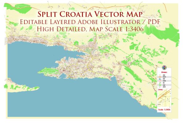
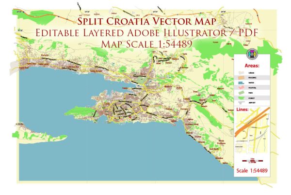
Split, Croatia, is a historic city on the eastern shore of the Adriatic Sea. The city’s layout is characterized by a combination of ancient architecture and modern developments.
Vectormap.Net provide you with the most accurate and up-to-date vector maps in Adobe Illustrator, PDF and other formats, designed for editing and printing. Please read the vector map descriptions carefully.
Let’s explore the port, main streets, and roads in Split:
**1. Port of Split: The Port of Split is a significant transportation hub and serves as a gateway to the Dalmatian islands. The port is well-equipped to handle both passenger and cargo traffic. The main passenger terminal, locally known as “Terminal Trajekti,” accommodates ferry services, connecting Split to nearby islands such as Brač, Hvar, and Šolta. The port area is lively and bustling with activity, featuring cafes, restaurants, and shops.
2. Main Streets and Roads:
- Riva Promenade: Riva is the main waterfront promenade in Split, stretching along the harbor. Lined with palm trees, cafes, and restaurants, Riva is a popular place for locals and tourists alike to stroll, relax, and enjoy the views of the sea. It is a central gathering point in the city.
- Diocletian’s Palace: The historic core of Split is dominated by Diocletian’s Palace, a UNESCO World Heritage Site. The palace complex is not only a historical monument but also a lively area with narrow streets, squares, and a mix of shops and residences. Some notable streets within the palace include Decumanus and Cardo.
- Marmontova Street: This is one of the main shopping streets in Split, located just outside Diocletian’s Palace. Marmontova Street is pedestrian-friendly and lined with various boutiques, cafes, and shops, making it a popular destination for those looking to explore the city’s contemporary side.
- Obala Lazareta: This street runs parallel to the sea, connecting the port area to the western part of the city. It offers a scenic route with views of the harbor and boats. The street is also home to several restaurants and bars.
- Hrvojeva Street: Leading from the Peristyle (central square within Diocletian’s Palace), Hrvojeva Street is a charming cobblestone-paved street with historic buildings, small shops, and cafes. It provides a glimpse into the local way of life in the heart of Split.
- Zrinsko Frankopanska Street: This street connects the eastern part of the city with the western part and is known for its green areas and parks. It is a more residential area compared to the bustling streets closer to the port.
- Istarska Street: Running parallel to Marmontova, Istarska Street is another popular shopping street with a mix of local and international stores.
- The Waterfront: In addition to Riva, there are various smaller waterfront areas along the coast of Split, offering a mix of cafes, restaurants, and places to relax by the sea.
These streets and roads collectively form the fabric of Split, providing a diverse and vibrant experience for residents and visitors alike. The combination of ancient architecture, modern amenities, and the natural beauty of the Adriatic Sea contributes to the city’s unique charm.


 Author: Kirill Shrayber, Ph.D.