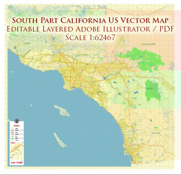
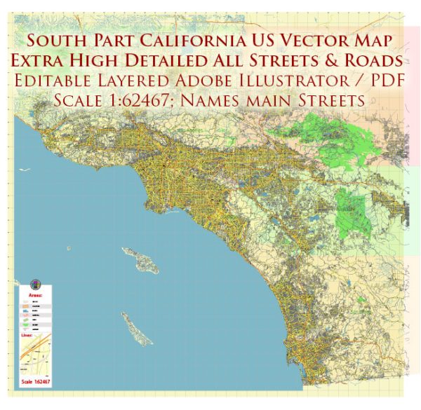
Southern California is a vast and diverse region, encompassing a variety of cities, towns, and a well-developed network of roads. The region is known for its pleasant climate, beautiful landscapes, and cultural diversity.
Vectormap.Net provide you with the most accurate and up-to-date vector maps in Adobe Illustrator, PDF and other formats, designed for editing and printing. Please read the vector map descriptions carefully.
Here’s a detailed overview of some of the main cities, towns, and roads in Southern California:
Main Cities:
- Los Angeles:
- The largest city in California and the second-largest in the United States.
- Known for its entertainment industry, including Hollywood, and cultural attractions.
- Key districts include Downtown LA, Hollywood, Beverly Hills, and Santa Monica.
- San Diego:
- Located near the Mexican border, San Diego is known for its military presence, beautiful beaches, and cultural attractions.
- Home to the San Diego Zoo, Balboa Park, and a vibrant downtown area.
- Anaheim:
- Famous for Disneyland Resort and the Anaheim Convention Center.
- A hub for tourism and entertainment.
- Long Beach:
- A coastal city with a bustling port and waterfront attractions.
- Features the RMS Queen Mary and the Aquarium of the Pacific.
- Riverside:
- Located inland, Riverside is known for its historic Mission Inn and the University of California, Riverside.
- Santa Ana:
- The county seat of Orange County, known for its diverse population and cultural offerings.
- Irvine:
- A planned city with a strong emphasis on education and technology.
- Home to the University of California, Irvine.
Towns and Communities:
- Pasadena:
- Famous for the annual Rose Bowl football game and the Rose Parade.
- Features the historic Old Town Pasadena district.
- Glendale:
- Known for its shopping centers, including the Glendale Galleria.
- Santa Monica:
- A beachfront city with a famous pier and vibrant downtown.
- Huntington Beach:
- Known as “Surf City” for its iconic surfing culture and beaches.
Roads:
- Interstate 5 (I-5):
- A major north-south interstate highway connecting Southern California with Northern California and beyond.
- Interstate 10 (I-10):
- An east-west interstate highway connecting Southern California to the rest of the country.
- Interstate 405 (I-405):
- A major north-south interstate running through the Los Angeles metropolitan area.
- California State Route 1 (Pacific Coast Highway):
- A scenic highway running along the Pacific coastline, providing breathtaking views.
- California State Route 91 (SR-91):
- A crucial east-west highway connecting the Inland Empire to Orange County.
- I-110 and I-710:
- Freeways serving the Los Angeles metropolitan area.
- Highway 101:
- A coastal highway running through parts of Southern California, particularly in the northern areas.
Toll Roads:
- State Route 73 (SR-73):
- A tolled highway connecting Orange County communities.
- State Route 133 (SR-133):
- A toll road running through parts of Orange County.
- State Route 241 (SR-241):
- A toll road in Orange County providing an alternative route for commuters.
Southern California’s transportation infrastructure is extensive, and it continues to evolve to meet the region’s growing population and economic needs. It’s important to check for current road conditions and any updates on toll roads before planning a trip in the area.


 Author: Kirill Shrayber, Ph.D.