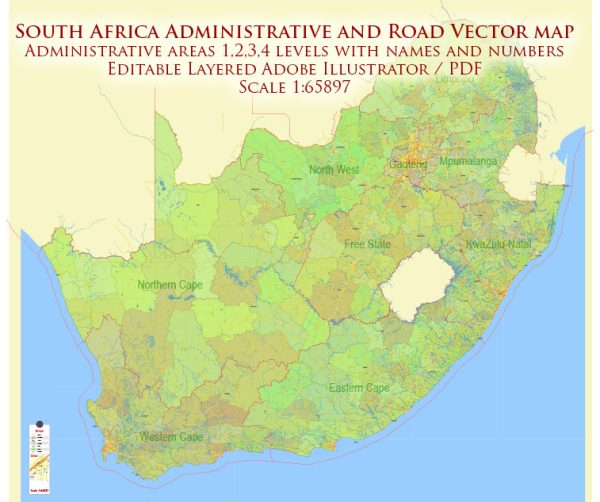
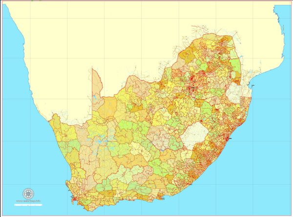
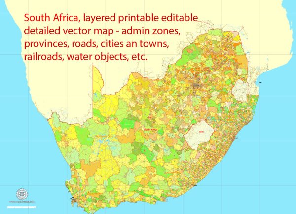
South Africa is a diverse and vibrant country with a range of cities, ports, towns, and principal roads that contribute to its economic, cultural, and historical significance.
Vectormap.Net provide you with the most accurate and up-to-date vector maps in Adobe Illustrator, PDF and other formats, designed for editing and printing. Please read the vector map descriptions carefully.
Here’s a detailed description of some of the main cities, ports, towns, and principal roads in South Africa:
Cities:
- Johannesburg:
- Known as the “City of Gold,” Johannesburg is the largest city in South Africa and the economic hub of the country.
- Major industries include finance, mining, and technology.
- Landmarks include the Apartheid Museum and the Cradle of Humankind.
- Cape Town:
- Located at the southern tip of the African continent, Cape Town is famous for its stunning landscapes, including Table Mountain.
- A major tourist destination, Cape Town offers a mix of history, culture, and natural beauty.
- Robben Island, where Nelson Mandela was imprisoned, is a significant historical site.
- Durban:
- Situated on the east coast, Durban is a major port city and a popular tourist destination.
- Known for its beaches, diverse cultural influences, and the Moses Mabhida Stadium.
- The Port of Durban is one of the busiest ports in Africa.
- Pretoria:
- As the administrative capital of South Africa, Pretoria is known for its government buildings, including the Union Buildings.
- Rich in history, the city has museums, botanical gardens, and historical monuments.
- Port Elizabeth:
- A coastal city on the Eastern Cape, Port Elizabeth is an important industrial and commercial center.
- Renowned for its beaches and wildlife reserves.
Ports:
- Port of Durban:
- Located on the east coast, it is the busiest port in South Africa and one of the largest in Africa.
- Handles a significant portion of the country’s imports and exports.
- Port of Cape Town:
- A strategic port on the west coast, handling a variety of cargo, including container traffic and bulk commodities.
- Port Elizabeth Harbour:
- An important deep-water port on the east coast, facilitating trade and shipping.
Towns:
- Bloemfontein:
- The judicial capital of South Africa, Bloemfontein is known for its historic architecture and museums.
- Stellenbosch:
- Located in the Western Cape, Stellenbosch is famous for its vineyards and wineries, making it a key part of the Cape Winelands.
- East London:
- A port city on the southeast coast with a diverse industrial base, including automotive manufacturing.
Principal Roads:
- N1 and N2:
- Major highways connecting Cape Town and Johannesburg, forming the backbone of the country’s road network.
- N3:
- Links Durban and Johannesburg, a crucial route for transportation between the coastal and inland regions.
- R24:
- Connects Johannesburg to the eastern parts of the country, passing through Pretoria.
- N4:
- Runs from Pretoria through to the Botswana border, facilitating transportation to the northwest.
These descriptions provide an overview of some of the prominent cities, ports, towns, and principal roads in South Africa. The country’s infrastructure is vital to its economic development and reflects its cultural and geographical diversity.


 Author: Kirill Shrayber, Ph.D.