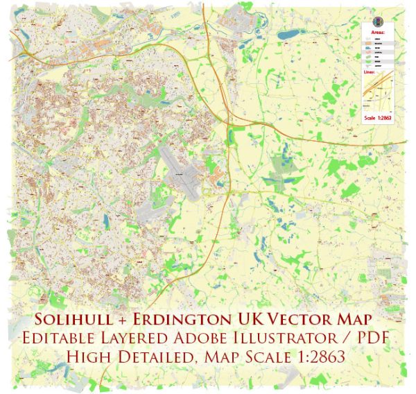
A general overview of Solihull and Erdington, including some historic places, buildings, streets, and squares.
Vectormap.Net provide you with the most accurate and up-to-date vector maps in Adobe Illustrator, PDF and other formats, designed for editing and printing. Please read the vector map descriptions carefully.
Solihull:
- Solihull Manor House:
- The Manor House is a Grade II listed building located in Solihull. It dates back to the 16th century and has served various purposes throughout its history.
- St. Alphege’s Church:
- St. Alphege’s Church is an Anglican church in Solihull, with parts of the building dating back to the 13th century. The church has a rich history and features impressive architecture.
- Touchwood Shopping Centre:
- While not historic in the traditional sense, the Touchwood Shopping Centre is a prominent landmark in Solihull. It offers a mix of shops, restaurants, and entertainment venues.
- Malvern and Brueton Parks:
- These parks provide green spaces for recreation and relaxation. Malvern Park, in particular, has a historic character, with a lake and Victorian bandstand.
- Solihull Arts Complex:
- This cultural venue hosts various performances, including theater, music, and exhibitions. It contributes to the cultural vibrancy of the area.
Erdington:
- Erdington High Street:
- Erdington High Street is a historic market town center with a mix of traditional and modern shops. It reflects the historical development of the area.
- St. Barnabas Church:
- St. Barnabas Church is an Anglican church with a history dating back to the 19th century. The church has architectural and historical significance.
- Brookvale Park:
- Brookvale Park is a public park in Erdington with a large lake, pathways, and green spaces. It provides a serene environment for residents and visitors.
- Erdington Library:
- Erdington Library is a community hub with historical elements. It serves as a valuable resource for education and information.
- Erdington Abbey:
- While not an abbey in the traditional sense, Erdington Abbey is a historic building with architectural interest. It has undergone various uses over the years.
Shared Features:
- Transport Links:
- Both Solihull and Erdington have well-established transport links, including train stations and bus services, connecting them to Birmingham and other nearby areas.
- Historic Streets and Architecture:
- Both areas feature streets with historic architecture, including a mix of period buildings and more modern developments.
- Town Halls:
- Solihull and Erdington each have town halls that play important roles in local governance and community activities.
While this provides a snapshot of some historic places and features, each area has more to explore and discover. For the most up-to-date and detailed information, consider consulting local historical societies, tourism boards, or recent publications on the history of Solihull and Erdington.


 Author: Kirill Shrayber, Ph.D. FRGS