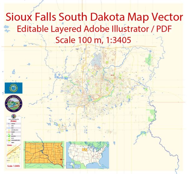
Sioux Falls, South Dakota, is the largest city in the state and serves as its cultural, economic, and recreational hub. The city is characterized by its friendly community, outdoor attractions, and a growing economy. A general overview of some notable districts and areas in Sioux Falls.
Vectormap.Net provide you with the most accurate and up-to-date vector maps in Adobe Illustrator, PDF and other formats, designed for editing and printing. Please read the vector map descriptions carefully.
- Downtown Sioux Falls:
- Phillips Avenue: This is the main street in downtown Sioux Falls and is known for its historic buildings, boutique shops, restaurants, and a vibrant atmosphere. The Phillips Avenue Sculpture Walk features a variety of public art installations.
- Falls Park: Located just north of downtown, Falls Park is a picturesque area with the Big Sioux River cascading over quartzite cliffs. It’s a popular spot for picnics, walking, and enjoying the scenic views.
- Historic Districts:
- Pettigrew Heights: A historic residential district with a mix of architectural styles, including Victorian and Colonial Revival homes. The neighborhood is named after Richard Pettigrew, a prominent historical figure in Sioux Falls.
- All Saints Historic District: Another area with well-preserved historic homes and buildings, showcasing various architectural styles from the late 19th and early 20th centuries.
- Residential Areas:
- Southwest Sioux Falls: This region has seen significant residential development, with suburban neighborhoods, parks, and shopping centers. The area is known for its family-friendly atmosphere.
- East Side: The eastern part of Sioux Falls has experienced growth with residential and commercial developments. It is home to various schools, parks, and shopping centers.
- University and Medical Districts:
- Augustana University: Located in the central part of the city, Augustana University is a private liberal arts institution.
- Sanford Health and Avera Health: Sioux Falls is a regional healthcare hub with major medical facilities like Sanford USD Medical Center and Avera McKennan Hospital.
- Shopping and Entertainment:
- Empire Mall: One of the region’s largest shopping centers, offering a wide range of retail stores and dining options.
- The District: A mixed-use development with entertainment venues, restaurants, and bars, providing a lively nightlife scene.
It’s important to note that developments and changes can occur, so it’s advisable to check local sources or city planning websites for the most up-to-date information on Sioux Falls’ districts, communities, and main streets.


 Author: Kirill Shrayber, Ph.D.