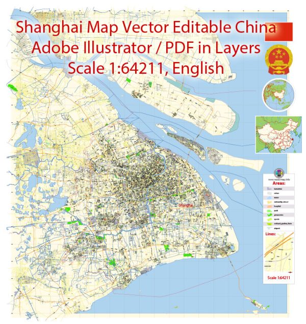
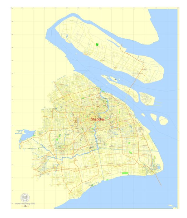
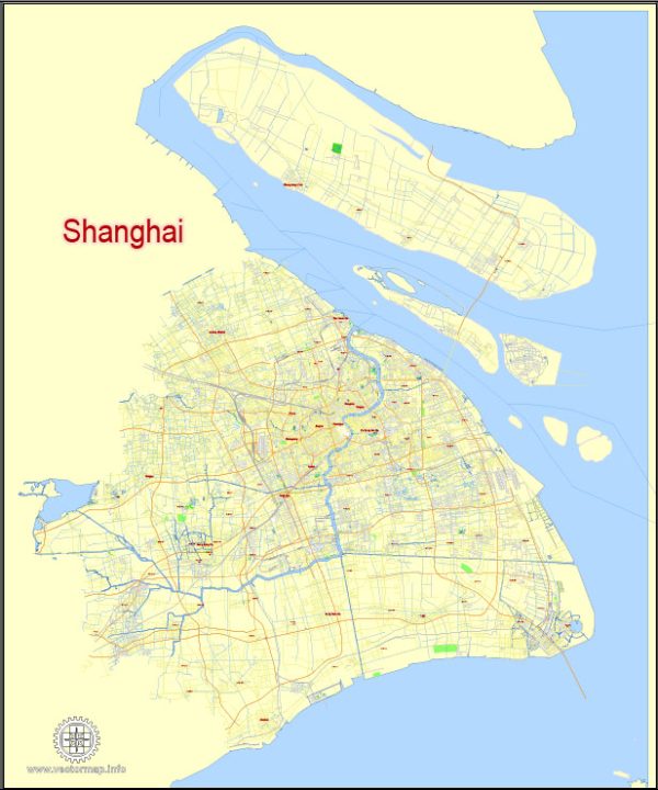
A general overview of the port, main streets, and roads in Shanghai, China.
Vectormap.Net provide you with the most accurate and up-to-date vector maps in Adobe Illustrator, PDF and other formats, designed for editing and printing. Please read the vector map descriptions carefully.
Shanghai Port: Shanghai is a major international port and one of the busiest in the world. The Port of Shanghai consists of several terminals along the Huangpu River and Yangtze River estuaries. The main container terminals include Yangshan Deepwater Port, Waigaoqiao Port, and Wusongkou International Cruise Terminal. Yangshan Deepwater Port is a crucial part of the port complex, located on an island southeast of the city.
Main Streets and Roads: Shanghai has an extensive road network that includes major streets and highways. Here are some notable ones:
- Nanjing Road: One of the most famous shopping streets in Shanghai, Nanjing Road is divided into two sections: Nanjing East Road and Nanjing West Road. It is a bustling commercial hub with numerous shops, restaurants, and entertainment options.
- The Bund: While not a road, The Bund is a famous waterfront area along the Huangpu River, offering stunning views of the modern skyscrapers in Pudong. It’s a popular destination for both locals and tourists.
- Huaihai Road: Known for its upscale shopping and fashion boutiques, Huaihai Road is a major commercial street running through the heart of Shanghai. It intersects with Nanjing Road and Fuxing Road.
- Yan’an Elevated Road: This elevated highway runs through the city and is a key transportation artery. It offers a convenient route for commuters and connects various districts in Shanghai.
- Inner Ring Road and Middle Ring Road: These are concentric ring roads encircling the central areas of Shanghai. They play a crucial role in managing traffic flow and connecting different neighborhoods.
- Hunan Road and Hengshan Road: Located in the former French Concession, these streets are known for their historical architecture, tree-lined avenues, and vibrant atmosphere. Hengshan Road is particularly famous for its nightlife and entertainment options.
- Zhongshan Road: Another significant road in Shanghai, Zhongshan Road runs along the west bank of the Huangpu River, offering picturesque views of the city’s skyline.
These roads and streets represent just a fraction of Shanghai’s extensive urban infrastructure. The city’s development has been characterized by a mix of modern skyscrapers and historical neighborhoods, creating a unique blend of traditional and contemporary elements. Keep in mind that urban landscapes can change, so it’s advisable to consult updated maps and guides for the latest information on Shanghai’s infrastructure.


 Author: Kirill Shrayber, Ph.D. FRGS