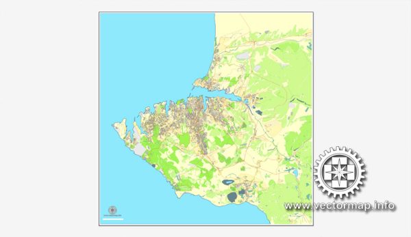
Sevastopol is a historic city located on the Crimean Peninsula, which has been a region of geopolitical significance throughout history. The city’s urban history is closely tied to its strategic location on the Black Sea and its role as a major naval base.
Vectormap.Net provide you with the most accurate and up-to-date vector maps in Adobe Illustrator, PDF and other formats, designed for editing and printing. Please read the vector map descriptions carefully.
Here’s a detailed overview of the urban history and street system of Sevastopol:
Urban History:
- Ancient Times: Sevastopol’s history dates back to ancient times when the area was inhabited by various Greek colonies. The city’s location provided access to important trade routes in the Black Sea.
- Byzantine and Ottoman Periods: Over the centuries, the region saw the influence of Byzantine and Ottoman empires. Sevastopol, then known as Chersonesus, became part of the Byzantine Empire before falling under Ottoman control.
- Russian Empire: The city’s modern history began in the late 18th century when the Russian Empire annexed Crimea in 1783. Catherine the Great founded the city in 1784 as a naval base. Sevastopol’s military significance grew over the years, and it played a crucial role in the Crimean War (1853-1856).
- Soviet Era: During the Soviet era, Sevastopol remained an important military and naval center. It was a closed city for much of this period due to its strategic importance.
- Post-Soviet Period: After the dissolution of the Soviet Union in 1991, Sevastopol became part of an independent Ukraine. However, the city’s status became a contentious issue, leading to its annexation by Russia in 2014, a move not recognized by most of the international community.
Street System:
Sevastopol has a well-developed street system that reflects its historical and strategic importance. Some notable streets and areas include:
- Nakhimov Avenue: One of the main thoroughfares, named after Admiral Pavel Nakhimov, a hero of the Crimean War. The avenue is lined with important government buildings, monuments, and historical landmarks.
- Lenin Street: A central street named after Vladimir Lenin, reflecting the Soviet influence. It features shops, cafes, and is a hub of social activity.
- Artillery Bay and Malakhov Kurgan: These areas played a significant role in the Crimean War. Malakhov Kurgan offers panoramic views of the city and the Black Sea.
- Monument to the Sunken Ships: Located in the Bay of Sevastopol, this monument commemorates the scuttling of the Russian fleet in 1854 to prevent it from falling into the hands of the enemy during the Crimean War.
- Admiral Serebryakov Embankment: A picturesque area along the Black Sea, featuring cafes, shops, and a promenade with views of the naval fleet.
Sevastopol’s street system has evolved over the centuries, influenced by military considerations, urban planning, and historical events. The city’s architecture reflects a mix of styles, from classical to Soviet-era structures, contributing to its unique character.


 Author: Kirill Shrayber, Ph.D. FRGS