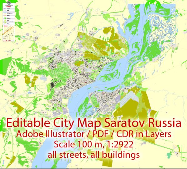
A general overview of the transportation infrastructure in the Saratov and Engels region in Russia.
Vectormap.Net provide you with the most accurate and up-to-date vector maps in Adobe Illustrator, PDF and other formats, designed for editing and printing. Please read the vector map descriptions carefully.
Road Transportation:
- Highways: Saratov and Engels are connected by a network of federal and regional highways. The M6 highway, also known as the Caspian Highway, is a major route passing through Saratov, connecting it with other significant cities.
- Local Roads: The cities have an extensive network of local roads facilitating intra-city transportation. Road conditions may vary, and ongoing infrastructure projects may affect traffic.
Public Transportation:
- Buses and Trolleys: Saratov and Engels have a public bus and trolleybus system that serves both cities. These systems provide an affordable means of transportation for residents and visitors.
- Trams: Some cities in Russia have tram systems, but the availability and extent of tram services in Saratov and Engels may vary.
Rail Transportation:
- Rail Network: The cities are likely to be connected by a rail network, offering both passenger and freight services. This allows for efficient transportation of goods and people to and from the region.
Air Transportation:
- Airports: Saratov has an international airport, Tsentralny Airport (RTW), which provides both domestic and limited international flights. Engels may not have a major airport, and residents might use Saratov’s airport for air travel.
River Transportation:
- Volga River: The Volga River flows near Saratov, and water transport plays a crucial role in the region. There might be ports and terminals along the river for transporting goods.
Future Developments:
- Infrastructure Projects: Russia frequently invests in infrastructure projects to improve transportation. There may be ongoing or planned projects aimed at enhancing road, rail, or air connectivity in the Saratov and Engels region.
- Urban Planning: Cities often undergo urban planning projects to improve transportation within the city limits, such as the development of new roads, public transportation routes, and traffic management systems.
For the most current and detailed information, I recommend checking with local authorities, transportation agencies, or recent news sources for any updates or changes in the transportation infrastructure of Saratov and Engels.


 Author: Kirill Shrayber, Ph.D.