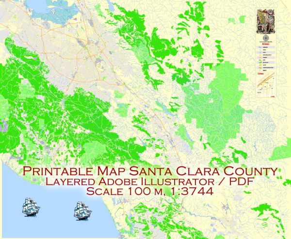
Santa Clara County, located in the heart of Silicon Valley, is a prominent county in California known for its technological innovation and economic significance. The county is characterized by a mix of urban and suburban areas, as well as diverse landscapes.
Vectormap.Net provide you with the most accurate and up-to-date vector maps in Adobe Illustrator, PDF and other formats, designed for editing and printing. Please read the vector map descriptions carefully.
Here is a detailed description of some of the main cities and towns, as well as principal roads in Santa Clara County:
Cities and Towns:
- San Jose:
- As the largest city in the county and the third-largest in California, San Jose is the economic, cultural, and political hub of Silicon Valley. It houses major tech companies, cultural institutions, and diverse neighborhoods.
- Palo Alto:
- Known for its association with Stanford University and the birthplace of many tech giants, Palo Alto is a city with a mix of residential areas and commercial districts.
- Mountain View:
- Home to Google headquarters, Mountain View is a city with a vibrant tech scene. Shoreline Amphitheatre and NASA’s Ames Research Center are notable landmarks.
- Santa Clara:
- Santa Clara is home to Levi’s Stadium, the home stadium of the San Francisco 49ers. The city also has a mix of residential and commercial areas.
- Sunnyvale:
- Sunnyvale is known for its diverse community and is home to many tech companies. Moffett Federal Airfield and Yahoo! headquarters are located here.
- Cupertino:
- Famous as the headquarters of Apple Inc., Cupertino is a suburban city with a mix of residential neighborhoods and commercial centers.
- Milpitas:
- Situated in the northeast part of the county, Milpitas is known for its industrial and manufacturing sectors. It is a part of Silicon Valley’s tech ecosystem.
- Los Gatos:
- Los Gatos is a charming town with a historic downtown area, boutique shops, and a mix of residential neighborhoods. It is nestled in the foothills of the Santa Cruz Mountains.
Principal Roads:
- Interstate 280 (I-280):
- Running north-south through the western part of the county, I-280 connects San Jose to San Francisco.
- U.S. Route 101 (US 101):
- This major north-south highway passes through San Jose and connects the county to the rest of the Bay Area.
- California State Route 85 (CA-85):
- CA-85 is a highway that traverses the western part of the county, connecting major cities like Mountain View, Cupertino, and San Jose.
- California State Route 237 (CA-237):
- Running east-west, CA-237 connects the eastern part of the county, passing through Milpitas and Sunnyvale.
- El Camino Real (State Route 82):
- This historic route, also known as “The King’s Highway,” runs through the county, passing through cities like Palo Alto, Santa Clara, and Sunnyvale.
- Lawrence Expressway:
- A major north-south arterial road, Lawrence Expressway runs through central Santa Clara County, connecting cities like Sunnyvale, Santa Clara, and Cupertino.
These cities, towns, and roads collectively contribute to the dynamic and influential character of Santa Clara County in the heart of Silicon Valley.


 Author: Kirill Shrayber, Ph.D.