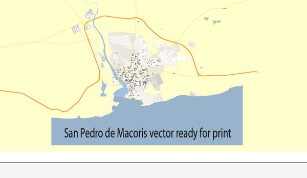
Some general information about San Pedro de Macorís, including its history and street system.
Vectormap.Net provide you with the most accurate and up-to-date vector maps in Adobe Illustrator, PDF and other formats, designed for editing and printing. Please read the vector map descriptions carefully.
Please note that developments may have occurred since then.
History:
1. Colonial Period: San Pedro de Macorís has a rich history that dates back to the Spanish colonial era. The town was officially founded on February 4, 1822, during the Haitian occupation of the Dominican Republic. However, the area had been settled by Spaniards even before that date.
2. Sugar Industry Boom: The town’s fortunes changed significantly in the late 19th and early 20th centuries with the rise of the sugar industry. San Pedro de Macorís became a major center for sugar production, attracting immigrants from various countries to work in the sugarcane fields and sugar mills.
3. Economic Development: The economic prosperity brought about by the sugar industry led to the growth of the town. San Pedro de Macorís became an important economic and cultural hub in the Dominican Republic.
4. Decline of Sugar Industry: The decline of the sugar industry in the latter half of the 20th century had a significant impact on the town’s economy. However, San Pedro de Macorís has diversified its economic activities over the years, including the development of tourism, services, and other industries.
Street System:
1. Layout: The street system in San Pedro de Macorís is typical of many Latin American towns and cities. The layout of streets is often a grid pattern, with a central plaza or square serving as a focal point. The streets are usually named and numbered systematically, which helps with navigation.
2. Landmarks: Landmarks, both historical and modern, play a role in the organization of the street system. Important buildings, parks, and institutions are often used as reference points for giving directions.
3. Urban Development: The urban development of San Pedro de Macorís has seen changes over the years, reflecting economic shifts and population growth. Older, historic parts of the town may have narrow streets and colonial architecture, while newer areas may have a more modern layout.
4. Transportation: The town is likely to have a mix of transportation modes, including roads for automobiles, pedestrian-friendly areas, and possibly public transportation options. The development of the street system would have considered the needs of both residents and businesses.


 Author: Kirill Shrayber, Ph.D. FRGS