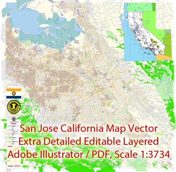
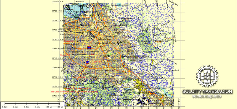
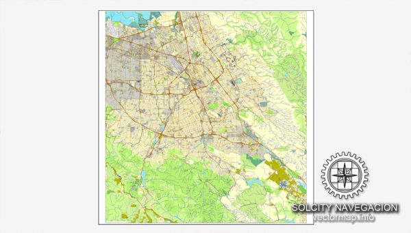
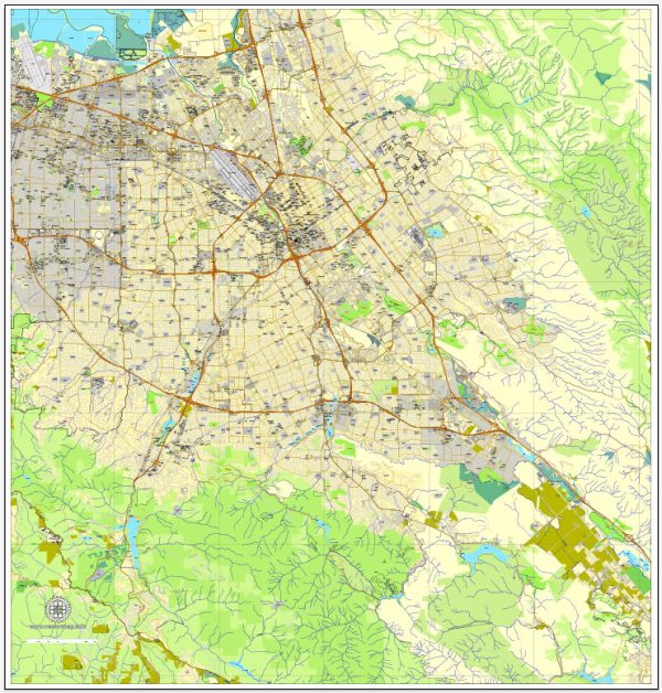
A general overview of the roads and streets infrastructure in San Jose, California.
Vectormap.Net provide you with the most accurate and up-to-date vector maps in Adobe Illustrator, PDF and other formats, designed for editing and printing. Please read the vector map descriptions carefully.
San Jose is the largest city in Northern California and a major technology hub, so its road infrastructure is designed to accommodate a large population and significant economic activity.
Here are some key aspects of San Jose’s roads and streets:
- Major Highways:
- Interstate 280 (I-280) runs north-south through the western part of the city.
- Interstate 680 (I-680) passes through the eastern part of San Jose.
- U.S. Route 101 (US 101) is a major north-south highway that runs through the western part of the city.
- Expressways:
- San Jose has an extensive network of expressways, including the Lawrence Expressway, San Tomas Expressway, and Capitol Expressway. These roads help manage traffic flow in different parts of the city.
- City Streets:
- San Jose has a grid-like street layout in many neighborhoods, with numbered streets running north-south and named streets running east-west.
- Downtown San Jose has a well-defined street grid, with important thoroughfares like Santa Clara Street and San Fernando Street.
- Bike Lanes and Paths:
- The city has been working on improving its bicycle infrastructure with dedicated bike lanes, paths, and bike-sharing programs to encourage sustainable transportation.
- Public Transportation:
- The Valley Transportation Authority (VTA) operates buses and light rail services in San Jose and the surrounding areas. Diridon Station is a major transportation hub, connecting various modes of transit, including Caltrain, Amtrak, and VTA services.
- Traffic Management:
- San Jose employs various traffic management strategies, including intelligent transportation systems, to monitor and control traffic flow. This includes traffic signals, road sensors, and information systems to help manage congestion.
- Infrastructure Projects:
- Over the years, San Jose has initiated various infrastructure projects to improve transportation, alleviate congestion, and enhance safety. These projects may include road expansions, interchange improvements, and other measures.
- Challenges:
- Like many major cities, San Jose faces challenges such as traffic congestion, which the city continually addresses through infrastructure improvements and public transportation enhancements.
It’s important to note that the specifics of San Jose’s road infrastructure can change due to ongoing development and improvement projects. For the most up-to-date information, it is recommended to consult local transportation authorities and official city planning resources.


 Author: Kirill Shrayber, Ph.D.