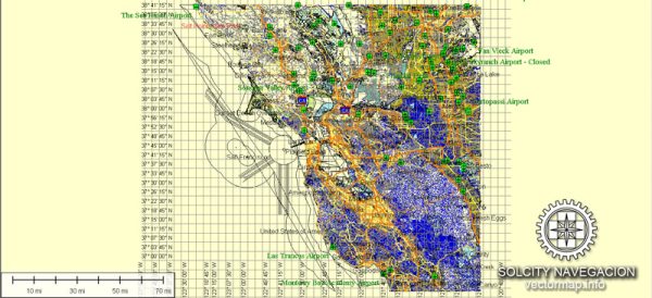
San Francisco Bay is a vibrant and populous region in Northern California, United States, known for its iconic landmarks, diverse communities, and economic significance. The bay itself is surrounded by several cities, towns, and ports, each contributing to the overall character and vitality of the region.
Vectormap.Net provide you with the most accurate and up-to-date vector maps in Adobe Illustrator, PDF and other formats, designed for editing and printing. Please read the vector map descriptions carefully.
Here is a detailed description of some of the main cities, ports, towns, and principal roads in the San Francisco Bay area:
Cities:
- San Francisco:
- As the namesake of the bay, San Francisco is a globally recognized city known for the Golden Gate Bridge, Alcatraz Island, and its historic cable cars.
- Key neighborhoods include Fisherman’s Wharf, Chinatown, Nob Hill, and the Mission District.
- It is a major financial and cultural hub with a diverse population and a rich history.
- Oakland:
- Located on the eastern side of the bay, Oakland is a major port city and a key transportation hub.
- It is known for its vibrant arts scene, diverse communities, and professional sports teams.
- The Port of Oakland is one of the largest container ports in the United States.
- Berkeley:
- Home to the prestigious University of California, Berkeley, this city is known for its academic and intellectual environment.
- The city has a vibrant cultural scene, including theaters, galleries, and a renowned farmers’ market.
- San Jose:
- While not directly on the bay, San Jose is a significant city in the South Bay area and is often considered part of the broader San Francisco Bay Area.
- Known as the capital of Silicon Valley, San Jose is a major technology and innovation hub.
- Palo Alto:
- Another city in the South Bay, Palo Alto is known for its association with Stanford University and as a center for technology companies.
Towns:
- Sausalito:
- A picturesque town on the northern side of the Golden Gate Bridge, known for its scenic views, houseboat communities, and artistic atmosphere.
- Mill Valley:
- Nestled among the redwood trees on the north side of the bay, Mill Valley is a charming town with a relaxed atmosphere and access to hiking trails.
Ports:
- Port of San Francisco:
- A major seaport, handling cargo and passenger traffic. It is situated along the Embarcadero and plays a crucial role in the region’s economic activities.
- Port of Oakland:
- One of the busiest container ports in the United States, handling a significant portion of the country’s trade with Asia.
Principal Roads:
- Golden Gate Bridge:
- Connecting San Francisco to Marin County, this iconic bridge is a crucial roadway and a major symbol of the region.
- Bay Bridge (San Francisco-Oakland Bay Bridge):
- Connecting San Francisco and Oakland, the Bay Bridge is a vital transportation link, with both eastern and western spans.
- Highway 101:
- A major north-south highway running along the western side of the bay, providing access to various cities and towns.
- Interstate 880:
- Connecting Oakland and San Jose, this interstate is a key transportation route in the East Bay.
These are just a few highlights of the many cities, towns, ports, and roads that make up the diverse and dynamic San Francisco Bay Area. The region is known for its innovation, cultural richness, and stunning natural beauty.


 Author: Kirill Shrayber, Ph.D.