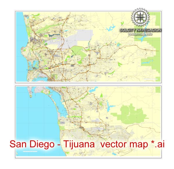
San Diego, California, and Tijuana, Mexico, are neighboring cities located on the United States-Mexico border.
Vectormap.Net provide you with the most accurate and up-to-date vector maps in Adobe Illustrator, PDF and other formats, designed for editing and printing. Please read the vector map descriptions carefully.
Here is a detailed overview of their history, ports, and transportation infrastructure:
San Diego, California:
History:
- Indigenous Peoples: The area that is now San Diego has a rich history dating back thousands of years with indigenous peoples, including the Kumeyaay people.
- Spanish Colonization: San Diego was first visited by Europeans in 1542 when Juan Rodriguez Cabrillo claimed the area for Spain. The Spanish later established a presidio and mission in the late 18th century.
- Mexican Rule: After Mexico gained independence from Spain, San Diego became a part of Mexico. However, it was ceded to the United States in 1848 after the Mexican-American War.
- Growth and Development: San Diego experienced significant growth during the late 19th and early 20th centuries, particularly with the development of the Navy presence and the Panama-California Exposition in 1915.
Port:
- Port of San Diego: The Port of San Diego is a major deep-water port on the Pacific Ocean. It serves as an important gateway for international trade, tourism, and fishing.
- Economic Impact: The port contributes significantly to the regional economy, supporting industries such as shipbuilding, trade, and tourism.
Transportation Infrastructure:
- San Diego International Airport (SAN): The main airport serving the region, connecting San Diego to domestic and international destinations.
- Freeways: San Diego has an extensive freeway system, including Interstate 5, Interstate 8, and Interstate 15, facilitating efficient transportation within the city and to neighboring areas.
- Public Transit: The Metropolitan Transit System (MTS) operates buses and the San Diego Trolley, providing public transportation throughout the city and surrounding areas.
- Rail: Amtrak and Coaster commuter trains operate in the region, connecting San Diego to cities like Los Angeles to the north.
- Port of Entry: The San Ysidro Port of Entry is the busiest land border crossing in the world, connecting San Diego to Tijuana. It plays a crucial role in facilitating cross-border trade and travel.
Tijuana, Mexico:
History:
- Indigenous Roots: The region was initially inhabited by indigenous communities like the Kumeyaay and later the Kiliwa.
- Spanish Colonization: Tijuana was established in the late 19th century as a result of the growth of the border region during Mexican rule.
Port:
- Port of Tijuana: While Tijuana itself doesn’t have a major seaport, it is closely connected to the Port of Ensenada, which is an important deep-water port on the Baja California coast.
Transportation Infrastructure:
- Tijuana International Airport (TIJ): The main airport serving Tijuana, with both domestic and international flights.
- Highways: Tijuana has well-developed road infrastructure, including the Mexico Federal Highway 1, connecting it to other parts of Baja California.
- Border Crossing: The San Ysidro Port of Entry connects Tijuana to San Diego, serving as a crucial link for cross-border trade, tourism, and daily commutes.
The interconnected history and transportation infrastructure of San Diego and Tijuana highlight the close relationship between these two cities on the U.S.-Mexico border. The shared border plays a significant role in economic, cultural, and social ties between the two regions.


 Author: Kirill Shrayber, Ph.D. FRGS