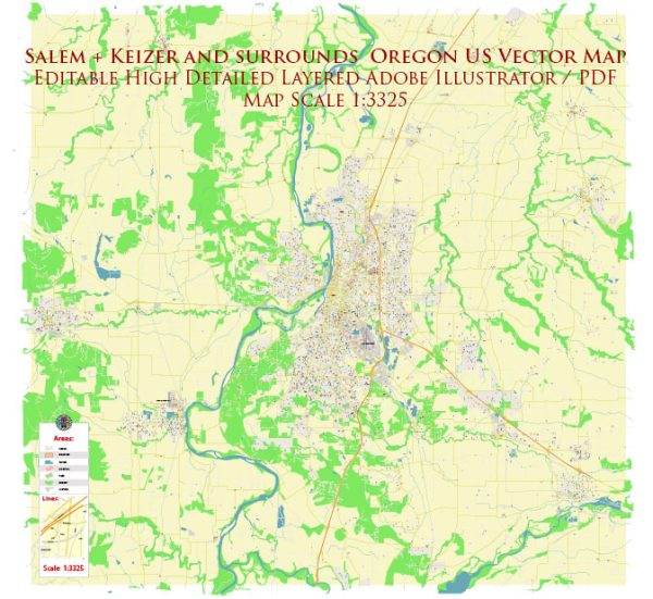
Salem and Keizer are neighboring cities located in the state of Oregon, United States. Both cities have rich histories and feature various historic places, buildings, streets, and squares that reflect the region’s past.
Vectormap.Net provide you with the most accurate and up-to-date vector maps in Adobe Illustrator, PDF and other formats, designed for editing and printing. Please read the vector map descriptions carefully.
Salem, Oregon:
Historic Places and Buildings:
- Oregon State Capitol:
- The Oregon State Capitol, located in downtown Salem, is a symbol of the state’s government. The current building, completed in 1938, is the third capitol structure. It features Art Deco architecture and houses the state legislature.
- Bush House Museum:
- The Bush House Museum is a Victorian mansion that belonged to Asahel Bush II, a prominent figure in Salem’s history. The museum showcases the lifestyle of Salem’s elite during the late 19th and early 20th centuries.
- Deepwood Estate:
- Deepwood Estate is a historic Queen Anne-style home surrounded by beautifully landscaped gardens. It offers a glimpse into the city’s history and architectural heritage.
- Willamette Heritage Center:
- Formerly known as the Mission Mill Museum, the Willamette Heritage Center preserves and interprets the history of the Willamette Valley, with a focus on the region’s agricultural and industrial heritage.
Streets and Squares:
- State Street:
- State Street is a major thoroughfare in downtown Salem, featuring a mix of shops, restaurants, and historic buildings. It’s a central street for events and parades.
- Riverfront Park:
- This park, along the Willamette River, provides a scenic escape in downtown Salem. It hosts events, festivals, and features walking paths, a carousel, and beautiful views.
Keizer, Oregon:
Historic Places and Buildings:
- Keizer Heritage Foundation:
- The Keizer Heritage Foundation works to preserve and promote the history of Keizer. It may not have a specific building, but it plays a vital role in conserving the city’s heritage.
Streets and Squares:
- River Road North:
- River Road North is one of Keizer’s main thoroughfares, hosting a variety of businesses and community spaces. It connects Keizer to Salem and runs along the Willamette River.
- Keizer Rapids Park:
- While not a historic square, Keizer Rapids Park is a notable recreational area. It has trails, sports fields, and picnic areas, making it a popular spot for residents.
Both Salem and Keizer contribute to the rich cultural tapestry of the Willamette Valley in Oregon. Exploring these historic places, buildings, streets, and squares allows visitors and residents alike to connect with the region’s past and appreciate its unique charm.


 Author: Kirill Shrayber, Ph.D. FRGS