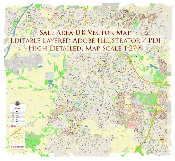
Sale is a town in Greater Manchester, England, with a rich history and several notable landmarks.
Vectormap.Net provide you with the most accurate and up-to-date vector maps in Adobe Illustrator, PDF and other formats, designed for editing and printing. Please read the vector map descriptions carefully.
Here’s a detailed description of some historic places, buildings, streets, and squares in Sale:
- Sale Town Hall:
- The Sale Town Hall is a prominent Victorian building located on Tatton Road. It was constructed in 1879 and has served various civic functions over the years. The architecture is typical of the Victorian era, featuring intricate details and decorative elements.
- St. Martin’s Church:
- St. Martin’s Church is the parish church of Sale and is an important religious and historical site. The church’s origins date back to the 13th century, although the current building is largely a result of 19th-century renovations.
- Sale Water Park:
- While not strictly historical, Sale Water Park is a significant recreational area that includes a lake, walking trails, and green spaces. The park was created from a former gravel pit and provides a peaceful retreat for residents and visitors.
- Sale Bridge:
- Sale Bridge spans the Bridgewater Canal and has been a key feature of the town for many years. The canal itself is an essential part of Sale’s industrial history, facilitating the transportation of goods during the Industrial Revolution.
- Worthington Park:
- This public park is a green space in the heart of Sale, providing residents with a place for leisure and recreation. It has walking paths, gardens, and play areas, making it a popular spot for families.
- Sale Moor Village:
- Sale Moor Village is an area with a distinct character, featuring a mix of historic and more modern buildings. The village has a range of shops, pubs, and restaurants, contributing to its vibrant atmosphere.
- The Square Shopping Centre:
- The Square is Sale’s main shopping center, offering a variety of shops, cafes, and services. While not a historic site per se, it is a central hub for the community.
- School Road Conservation Area:
- The School Road Conservation Area in Sale comprises a collection of historic buildings and structures, contributing to the preservation of Sale’s architectural heritage.
- Church of the Ascension:
- This Anglican church is another religious site in Sale, known for its distinctive architecture. It was built in the late 19th century and has been an important part of the community for over a century.
- Sale Bridge Conservation Area:
- This conservation area encompasses parts of the town center, including Sale Bridge and the surrounding historic buildings. The designation aims to protect and enhance the special character of the area.
When exploring Sale, visitors and residents can appreciate the town’s mix of historical and modern elements, from its charming streets and squares to its significant landmarks and green spaces. It’s important to check for any updates or changes to these sites, as urban areas continually evolve.


 Author: Kirill Shrayber, Ph.D. FRGS